


Tour around the fortified town
Stroll along the route of the city wall. Brochure available in our reception.
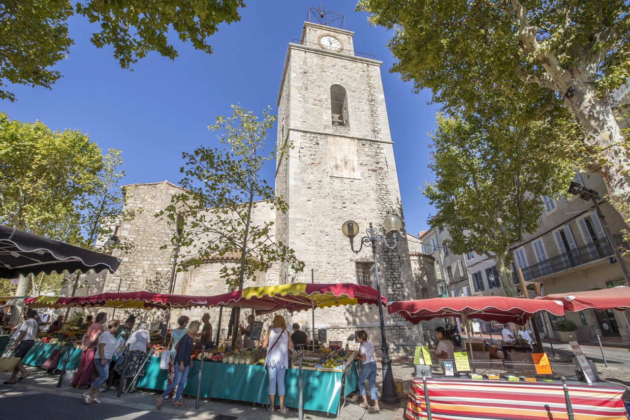
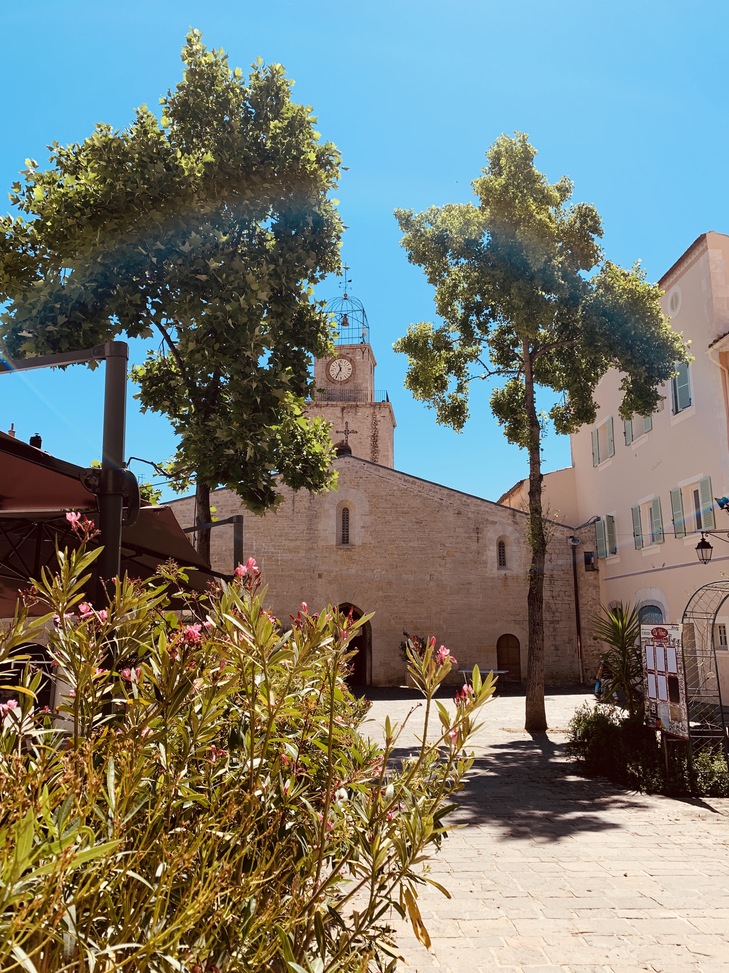
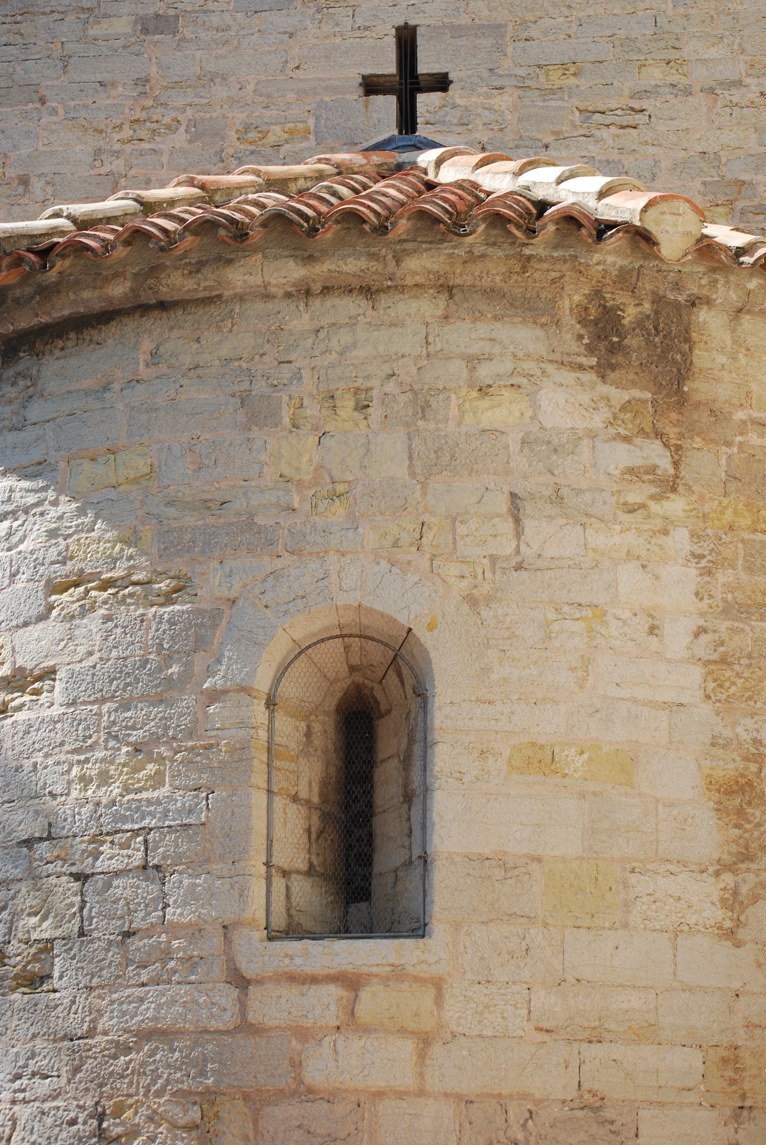
1. Departure: South side of the church of St. Laurent. It is the most legible part of the city wall. It has preserved its crenellation and two archers. The chapels built in the 17th century leaned against the wall which became an integral part of the church.
2. Remains of the Flascou tower, in front of the fortification to protect its base, destroyed in 1807. At the foot of this tower one can see the trace of a side postern. See the explanatory panel on the spot.
3. The wall, hidden under the plastering of the façades, joins here a second tower whose presence was attested during archaeological excavations in 2006.
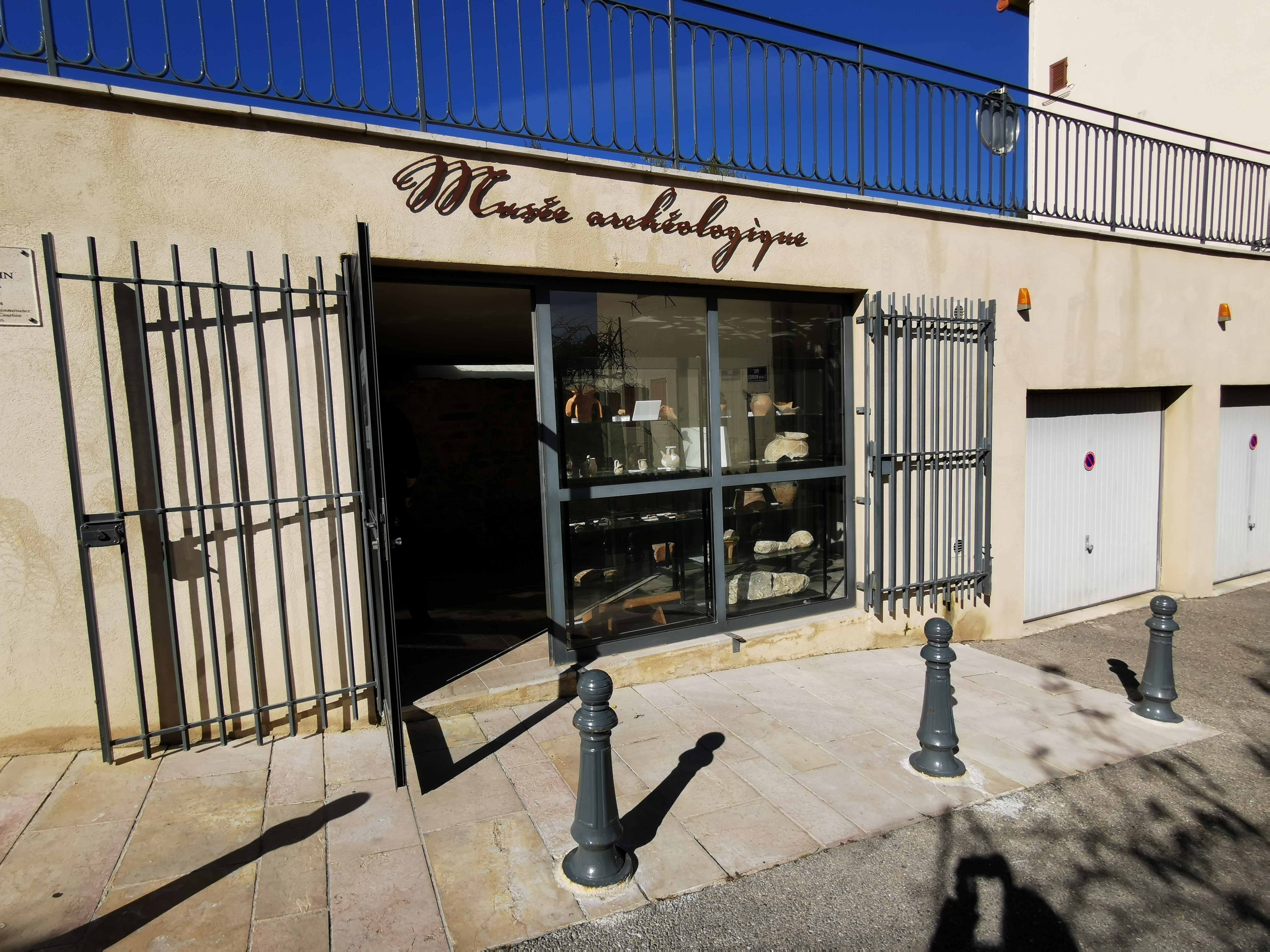
4. The Bottin-Layet archaeological museum was created to house a fraction of the rampart cleared during work. It has been the subject of an archaeological excavation which allows us to know its thickness, its mode of construction, and to specify the period of construction. See explanatory panel on site.
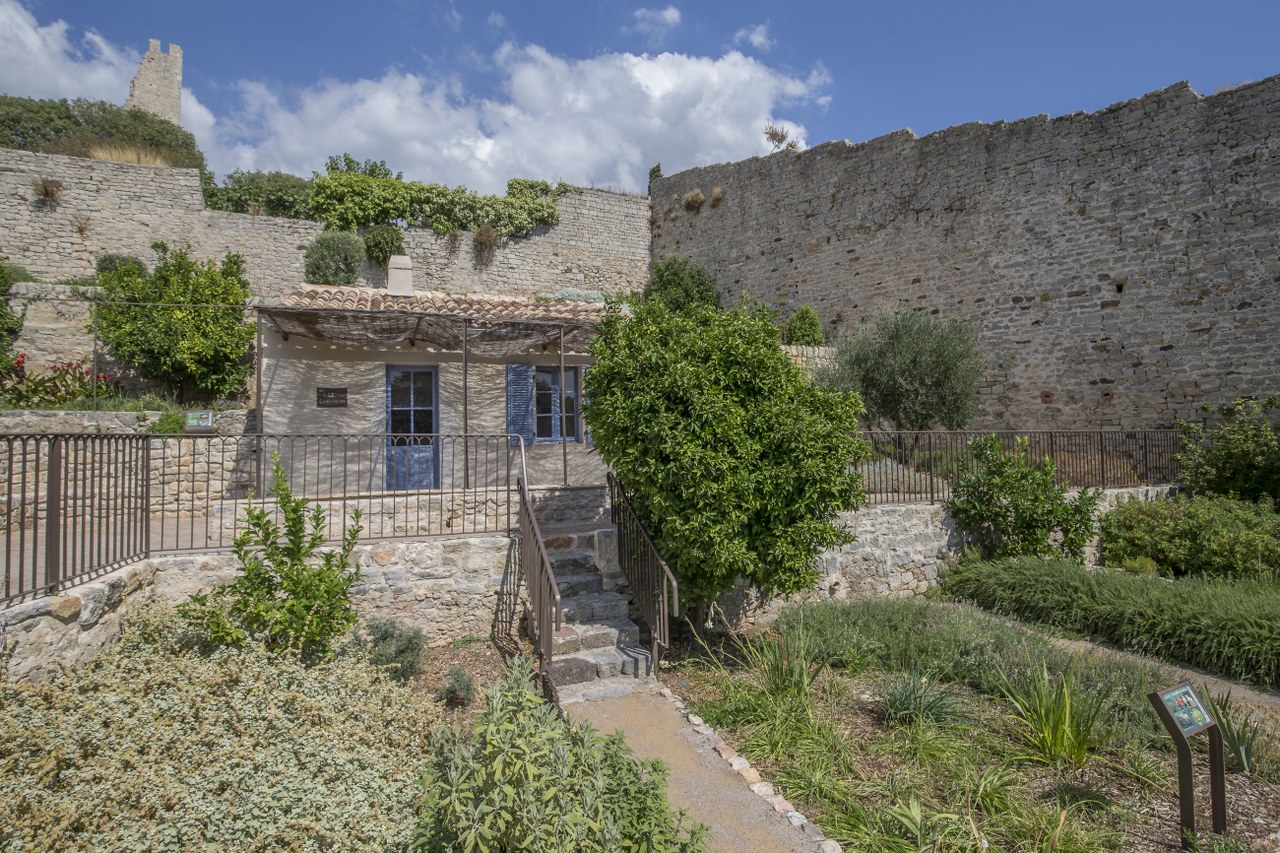
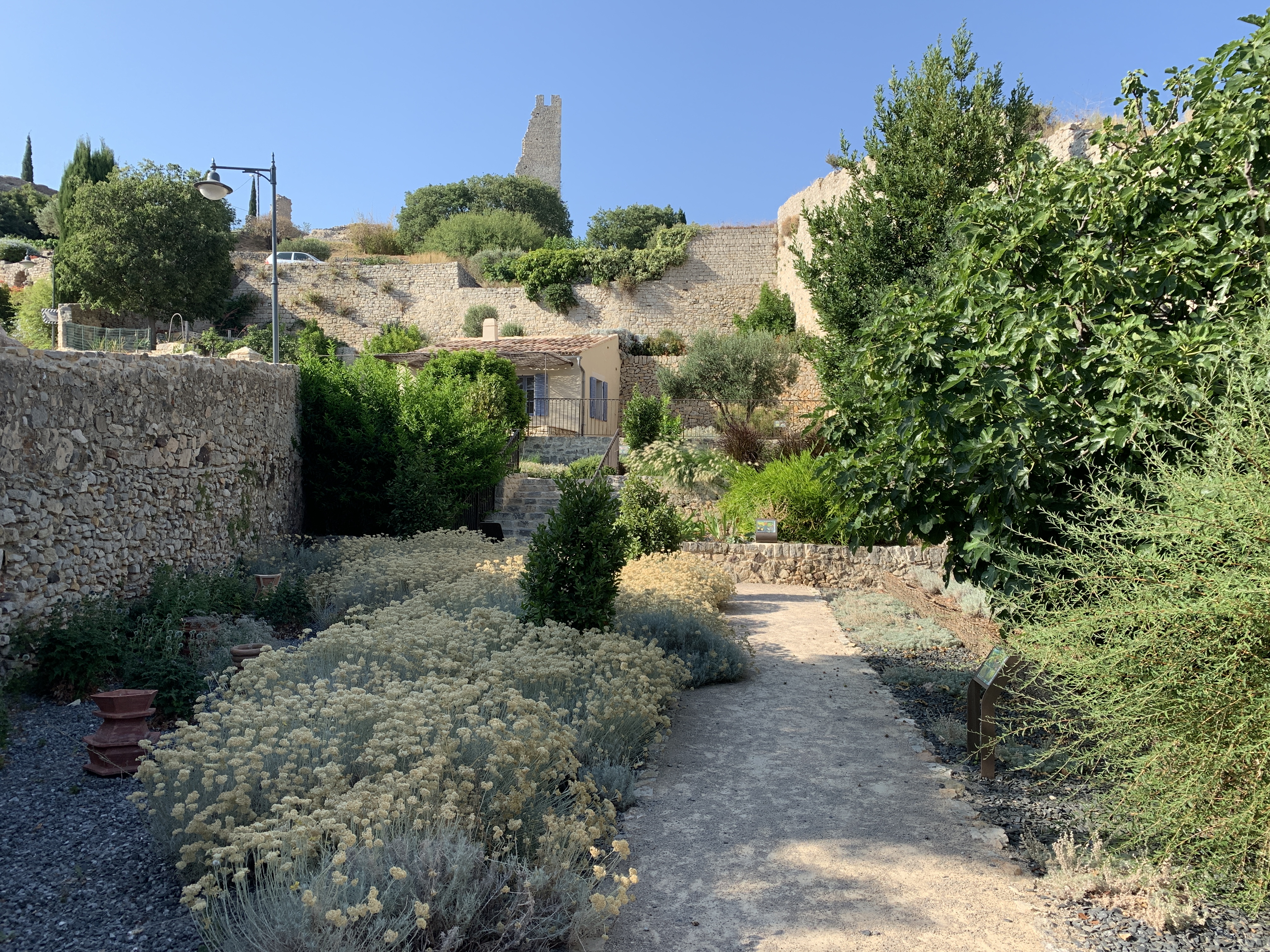
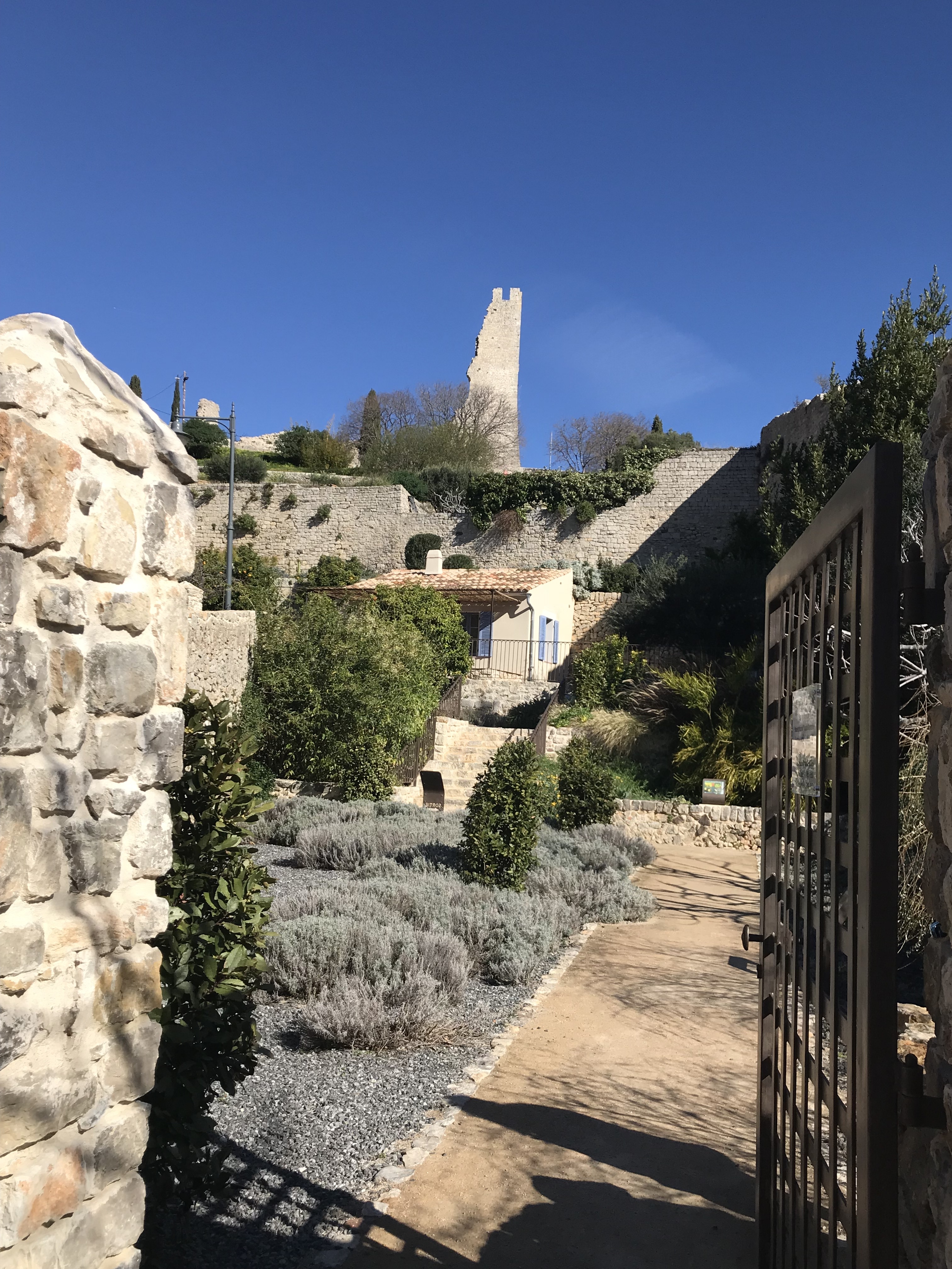
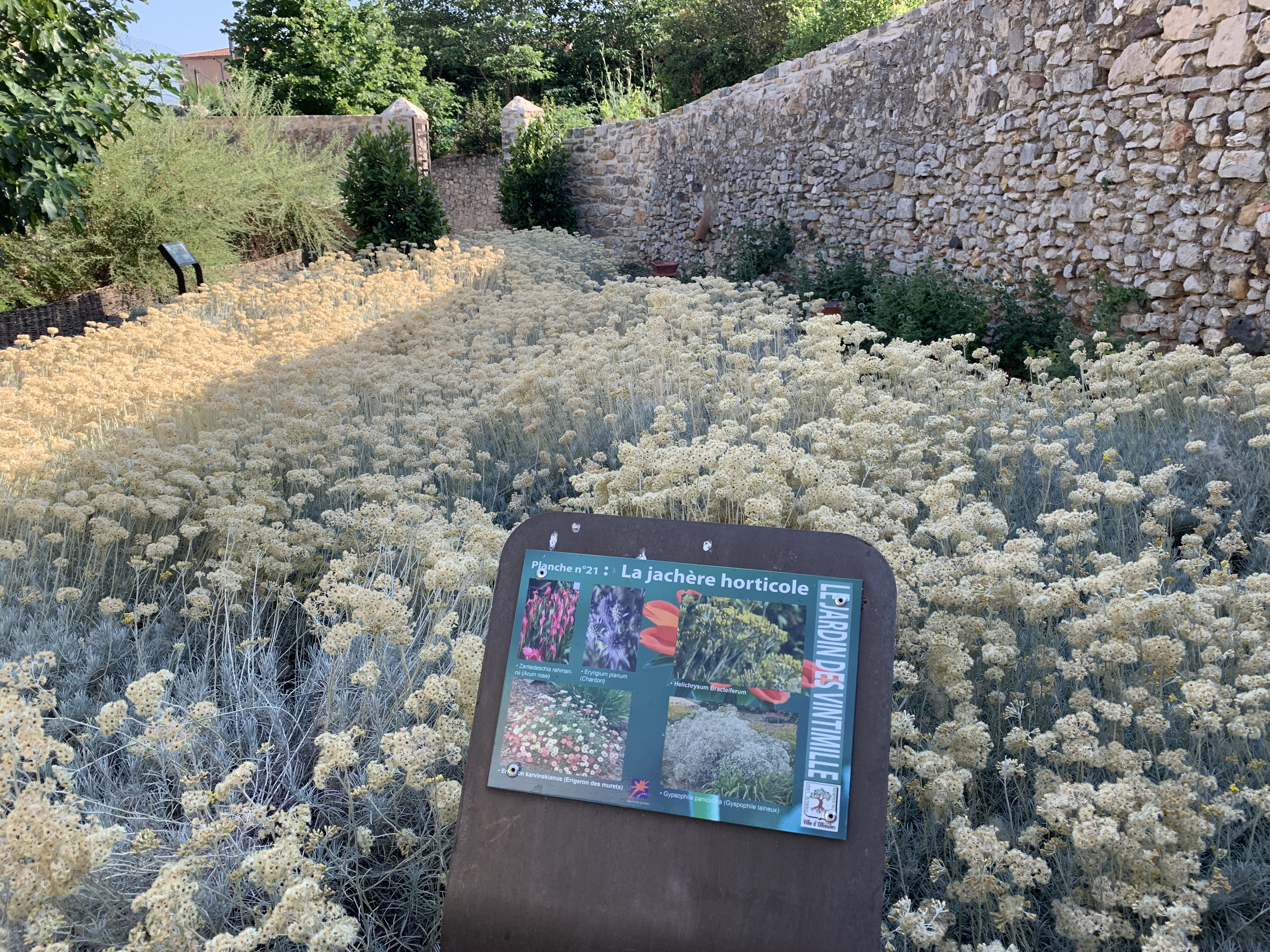
5. Public garden of Ventimiglia. Here the urban rampart joined the defenses of the castle. The crenellation has disappeared but two archers can be seen. See the leaflet dedicated to the garden.
6. View on the pretty Notre Dame path, the old access road to the castle. The circuit then goes down towards the Reppe via rue Salengro to find the wall that borders the avenue Dagnan. Possible variant in dotted line, beautiful point of view.
7. The circuit makes a detour to allow you to take a protected passage that will lead you to the balcony on the Reppe. Viewpoint on the North-East fortifications.
8. The two archers still visible will seem very low to you. The 17th century road is built on an embankment that did not exist in the Middle Ages. At that time, the wall was on a steep slope going down to the river.
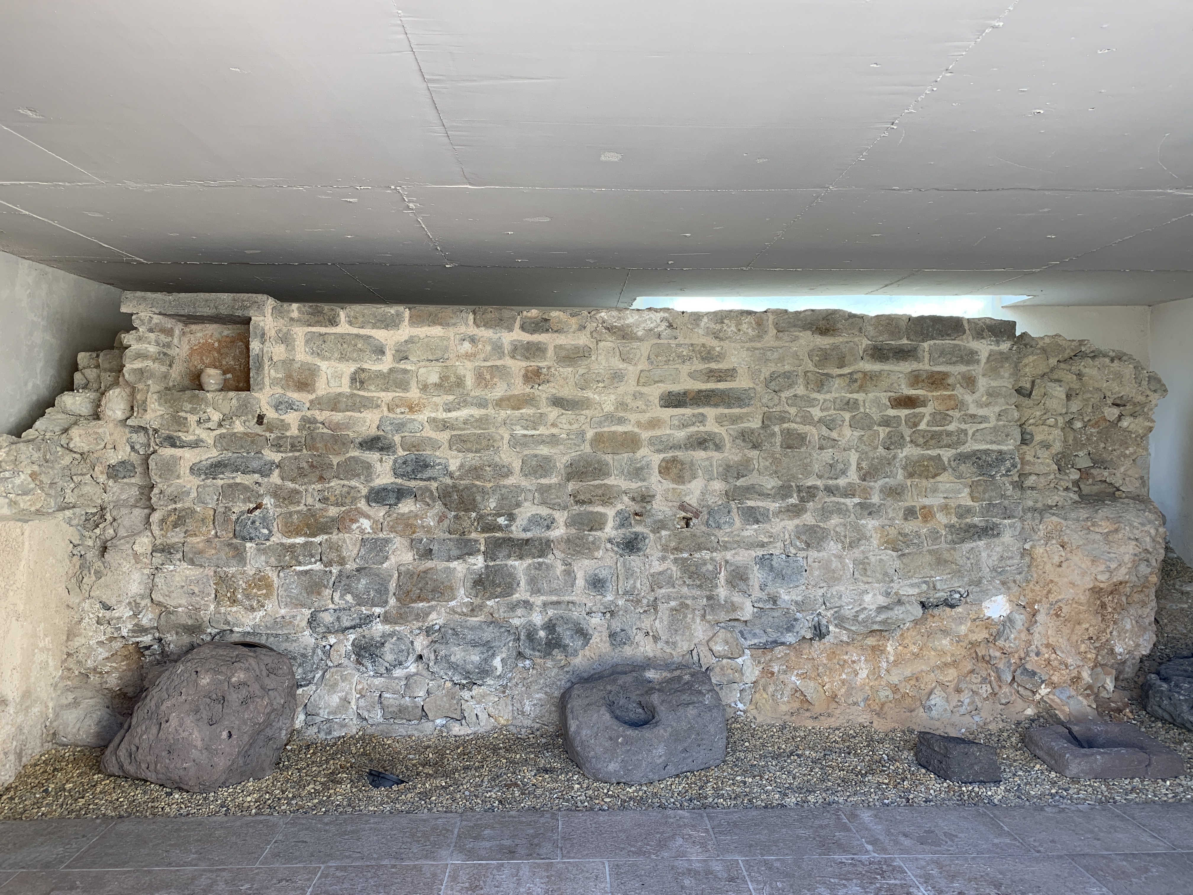
9. A portion of the rampart has been excavated. It allows one to appreciate the layout of the stone foundations and the choice of cut modules.
10. The rampart bends to the southwest to reach the church. Each street of the old center opened by a door on the Place des Aires, now Place Jean Jaurès. They were all destroyed during the First Empire "to embellish and air". At the bottom of the current rue Hoche, the door of the rue Sainte Ursule was destroyed in 1809.
11. At the bottom of rue Berthelot was the door of rue Capoine. The tower is the only one that has survived almost intact. One can guess two archers. It is located at a change of direction from the rampart and in front of the fortification. One will appreciate the thickness of the walls. An explanatory panel on the west wall of the tower can be consulted.
12. At the bottom of Calle Gambetta, the gate of the Grande Rue was destroyed in 1808.
13. To the right of rue Marceau, in the same year was destroyed the Saint Pierre gate.
14. Arrival: Between the town hall and the church of St. Laurent, there was until 1807, the gate of the Place. It was, still at the beginning of the 20th century, connected to the church by a large stone wall that hid the northern apse. The archaeological excavations of the medieval cemetery in 1993, showed that the present bell tower was not a defensive element of the 14th century rampart, and that it was only built later.
Photo gallery
Spoken languages
- French
Location
- En centre historique
- En ville
Prices
Free access.
Opening