The plant trail
The "Sentier des Plantes" (Plant Trail) uses small numbered ceramic plaques to present the main plants characteristic of the island's vegetation (obtain the "Sentier des Plantes" brochure from the Maison de Parc National or download it). Juice

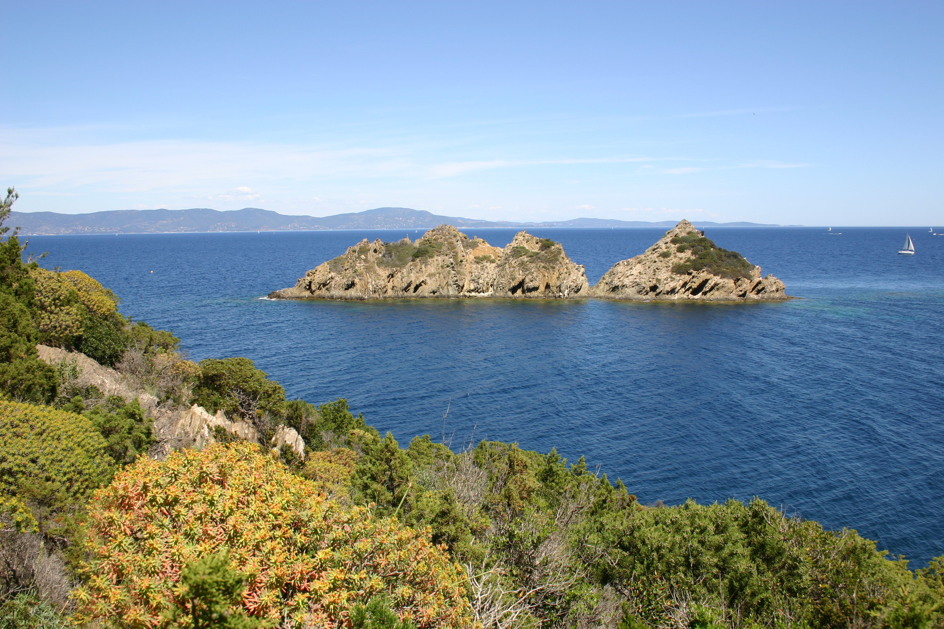
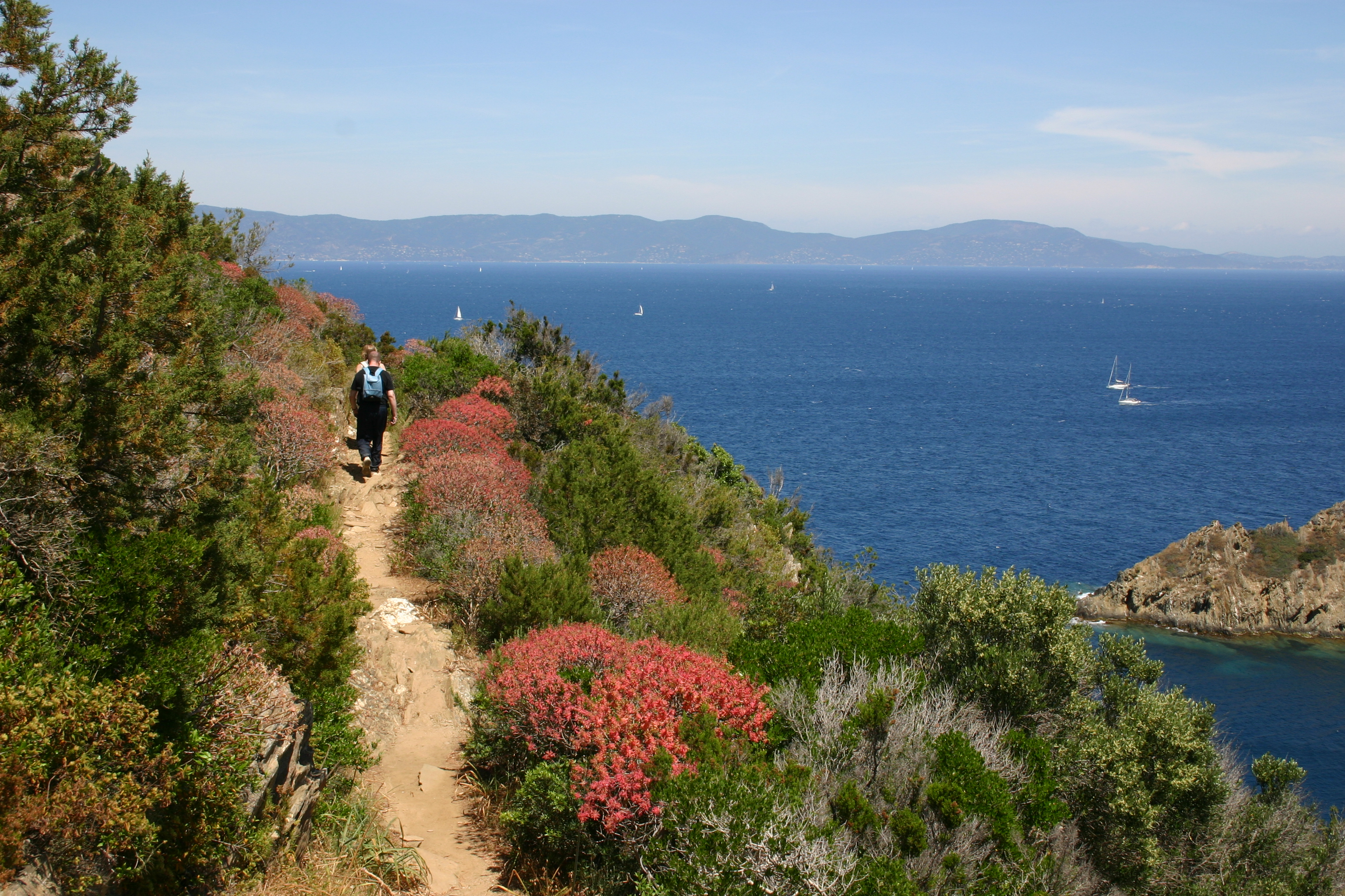
Drive alongside the Post Office, then turn left towards Fort du Moulin (not open to visitors). Walk past the tower and rampart. Opposite the drawbridge, take the path on the right, which begins with two small steps. You can go around the fort to the left. Superb views of the Port-Cros roadstead and the islet of Bagaud. A few dozen metres further on is the small marine cemetery. Take the path furthest to the left. A few short climbs will warm your calves, but fortunately most of the path is shaded. Small numbered plaques show the main plants that characterize the island's vegetation (see "Sentier des Plantes" brochure). About 15 minutes later, at the bend of a loop, you suddenly discover the islet of Rascas and the beach of La Palud, where the underwater trail is located. In the distance, the pointe de la Galère and, behind it, the île du Levant can be seen. Shortly after the fork in the road leading to Fort de l'Estissac, turn left down the path (numerous steps) before entering the coastal forest.
Photo gallery
Prices
Free of charge.
-
Display phone number


