The Couchant circuit in Porquerolles
The Couchant circuit runs along the west side of Porquerolles.

Station 1: Rossignol crossroads
The Rossignol crossroads marks the boundary between the cultivated island and the forest island. Follow the track on the right to Plage d'Argent. The low wall lining the path dates from the old Fournier farm. It has been worn down by erosion caused by heavy pedestrian and vehicular traffic. Under the pines, a crossroads marks the Plage d'Argent. Leave the road at the next junction on the edge of the vineyard, then turn right under the eucalyptus trees. Drop off your bikes and continue on foot to the right as far as the bridge.
Station 2: La Plage d'Argent
Rejoin the track and continue westwards. In the distance, the canes of Provence open onto the Brégançonnet plain. At the "patte d'oie" (goose foot), head towards the "langoustier" along the seafront.
After a passage through undergrowth, the track becomes a path and approaches the shore. Go past the interpretation tables and park your bikes in the designated parking area, some 30 m further along on the left. Retrace your steps a few dozen meters.
Station 3: The "Whistle Wind" corridor Biological and landscape restoration
Here, vegetation is under the combined pressure of natural conditions and human activity. In addition to the scorching salt, sun and drought, there are the trampling of summer visitors and the harmful effects of detergents discharged into the sea.
A small rainwater retention basin can be found on the left, in the bend, at the bottom of an undergrowth slope. Continue to Aiguade beach.
Station 4: Aiguade beach
Next to the bike park, surrounded by crithmes maritimes, a small plant with fleshy leaves, a pistachio tree stands out for its unusual size.
On the western path, in May, the sweet fragrance of cistus is a delight. At the roundabout, continue straight ahead to the hairpin bend perched on the pointe du maure.
Station 5: Le belvédère du Maure
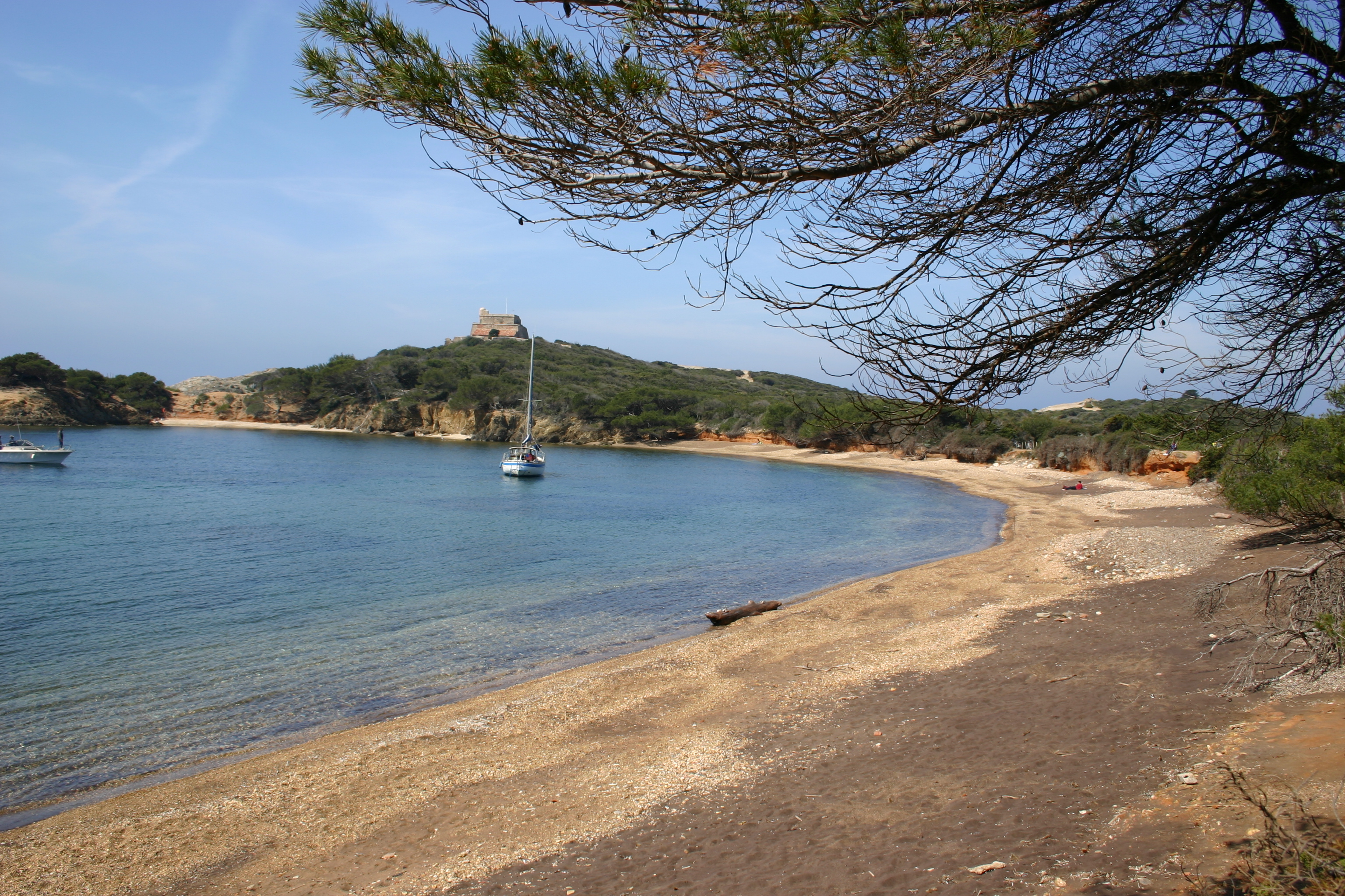
The view widens. The island comes into sharper focus. The maritime pass, the Giens peninsula, the islets and the star-shaped fort of Grand Langoustier are a landmark in the history of the Golden Isles.
A steep descent leads to the Langoustier isthmus, at the westernmost tip of Porquerolles. Bicycles are not allowed beyond the parking area. This is a fragile site, as is the narrow strip of loose earth and sand that links the Langoustier peninsula.
Station 6: Grand Langoustier
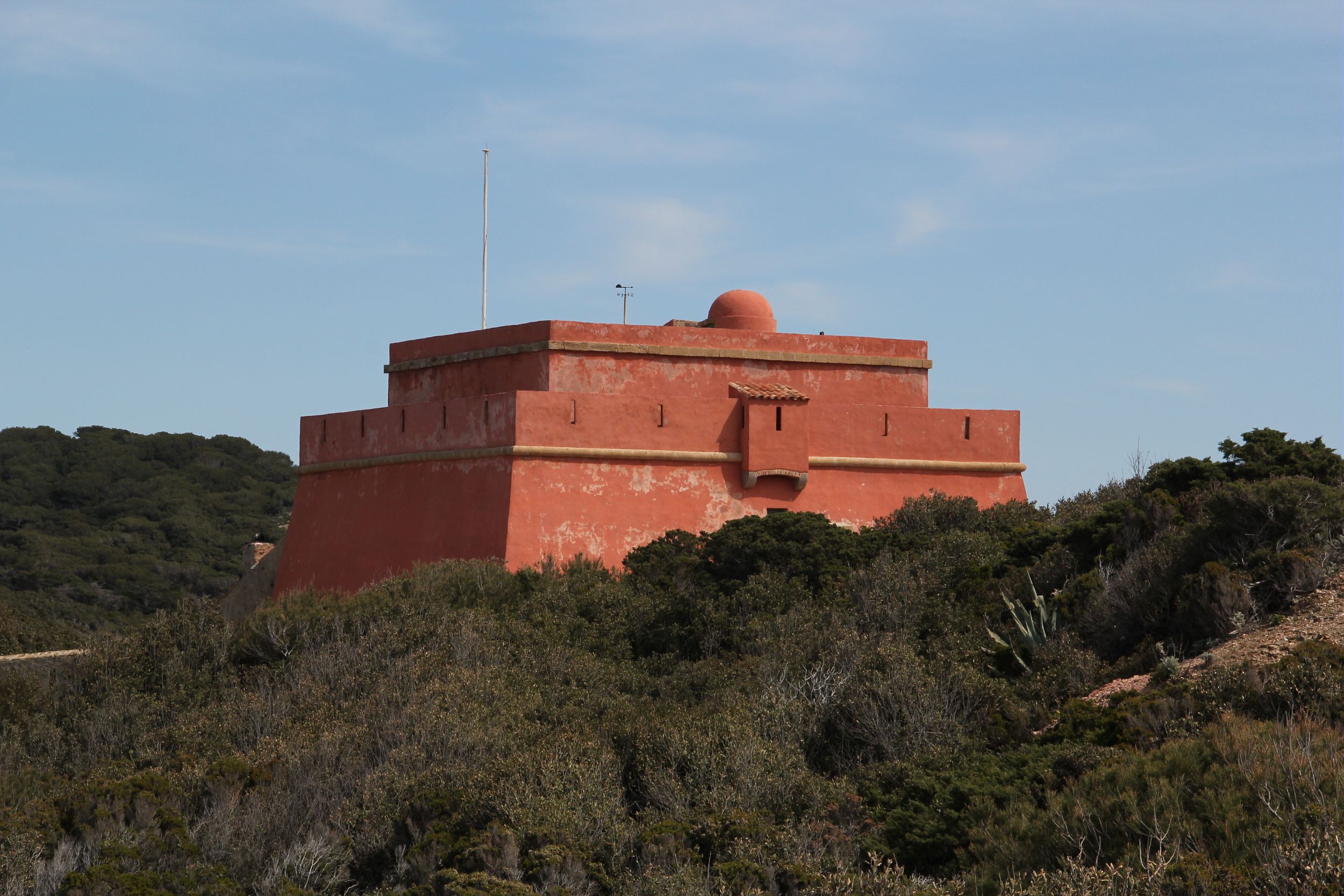
The Grand Langoustier fort dominates the site. With its tower and star-shaped ramparts, it is typical of richelieu military architecture. This construction enabled attackers to be caught in a crossfire with the opposing ramparts.
Return to the Belvedere du Maure. Just beyond, on the right, a path leads into the forest. The slope is steep all the way to the Col du Langoustier, a migration corridor for birds passing through Porquerolles. This is the turning point towards the south of the island. As you step ashore, have fun finding the exact spot on the slope where you can see the north and south coasts of Porquerolles in a single glance.
Under the Aleppo pines, the cones are gnawed not by squirrels, absent on the island, but by arboreal black rats. These small, heat-loving mammals have few natural enemies. Their presence on Porquerolles can be a problem when they attack the nests of endangered birds.
On the descent, a large green cistern marks a landmark for turning right towards the Brégançonnet cove.
Station 7: Brégançonnet cove
The calanque breaches the inaccessible cliffs of the south coast, a haven for peregrine falcons.
Leave the calanque to the right, for another climb through the forest. Just beyond the summit, the terreplein opens onto the Brégançonnet plain.
Station 8: The Brégançonnet plain
A gap in the trees provides a view of the entire Brégançonnet plain, the north coast and, in the background, the Hyères roadstead.
Descend to the Conservatoire Botanique National Méditerranéen, turning right at the Brégançonnet crossroads, then right again at the Rossignol crossroads. You can make a further stop at the Jardin du Palmier, before returning to the Carrefour des Oliviers, then left to Place d'Armes.
Photo gallery
Prices
Free of charge.
-
Display phone number
-
Write to the owner


