


Randonnée du sentier du littoral Six Fours Le Brusc - Plage de Bonnegrâce
1. DEPARTURE: Take the path from the Brusc traffic circle. Pass in front of the fountain to find the itinerary that joins old fishermen's houses.
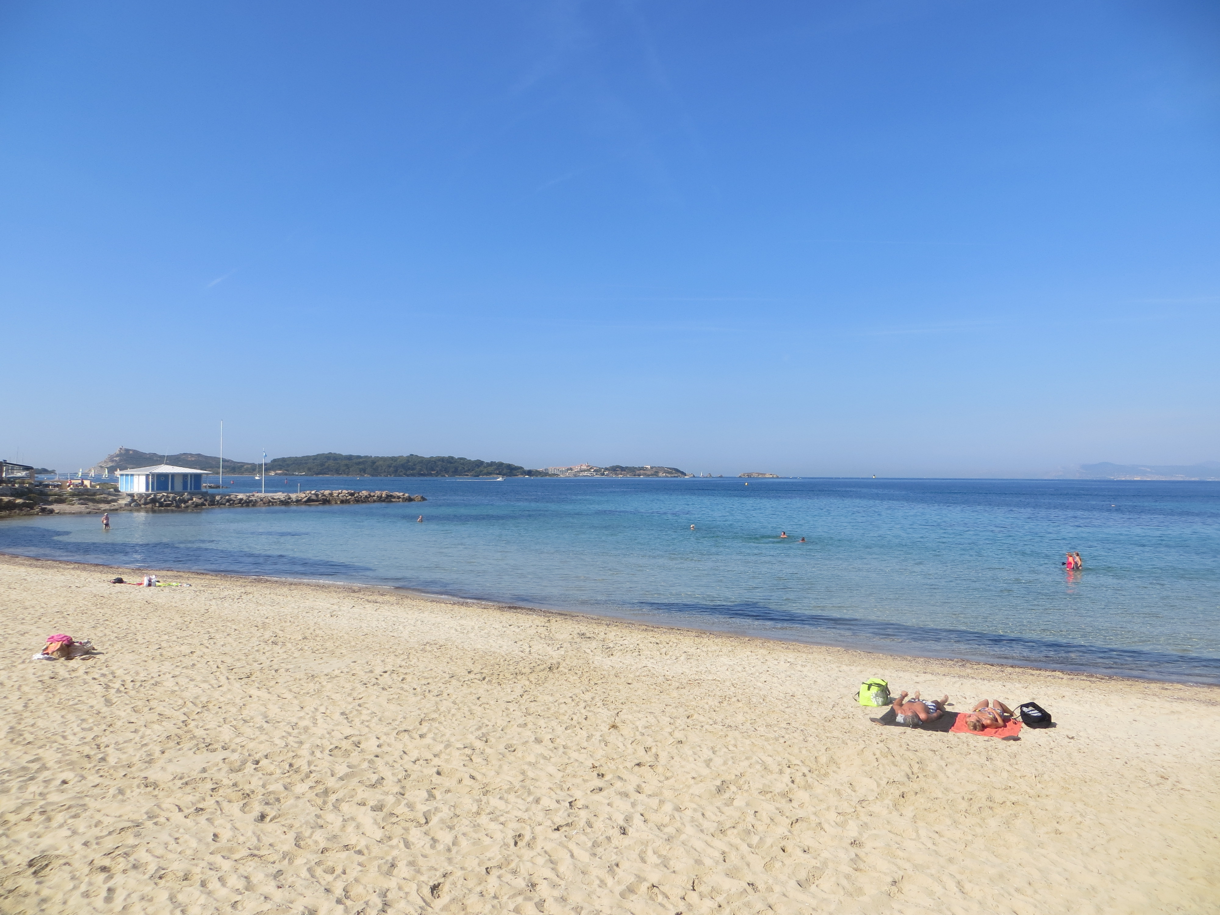
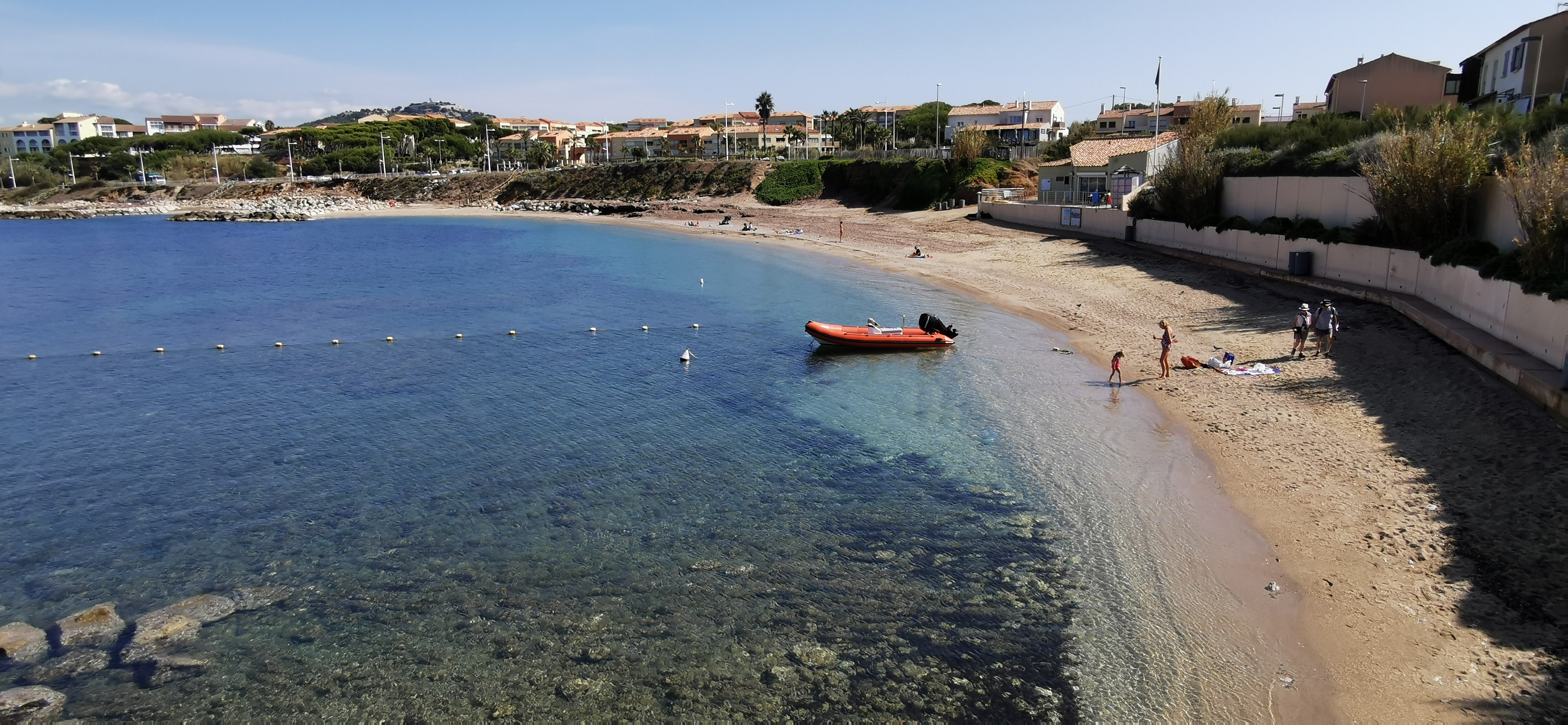
2. You will cross a gravel beach. You will pass on the terrace of a restaurant. Walk along a second beach of fine sand. Go to the end and turn left. You will arrive on a small gravel cove.
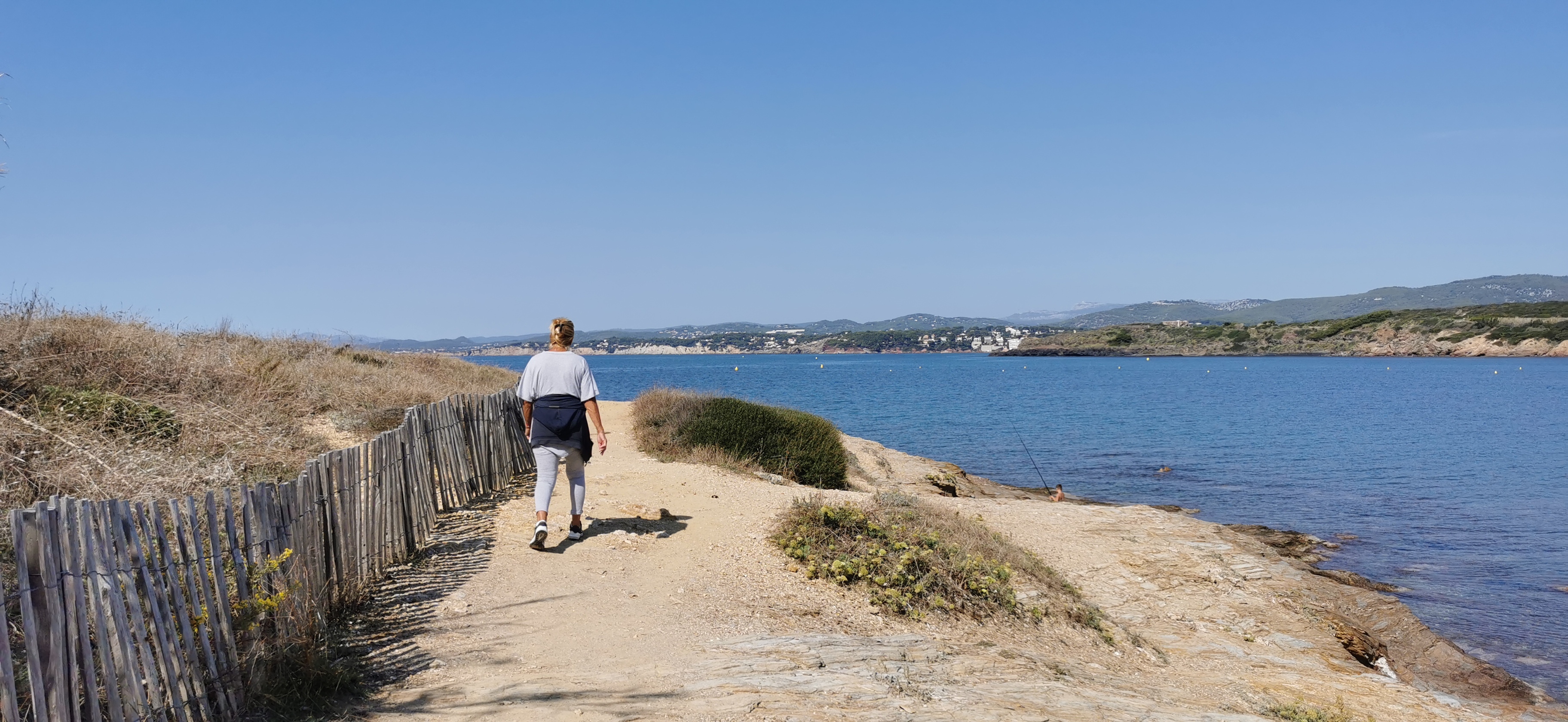
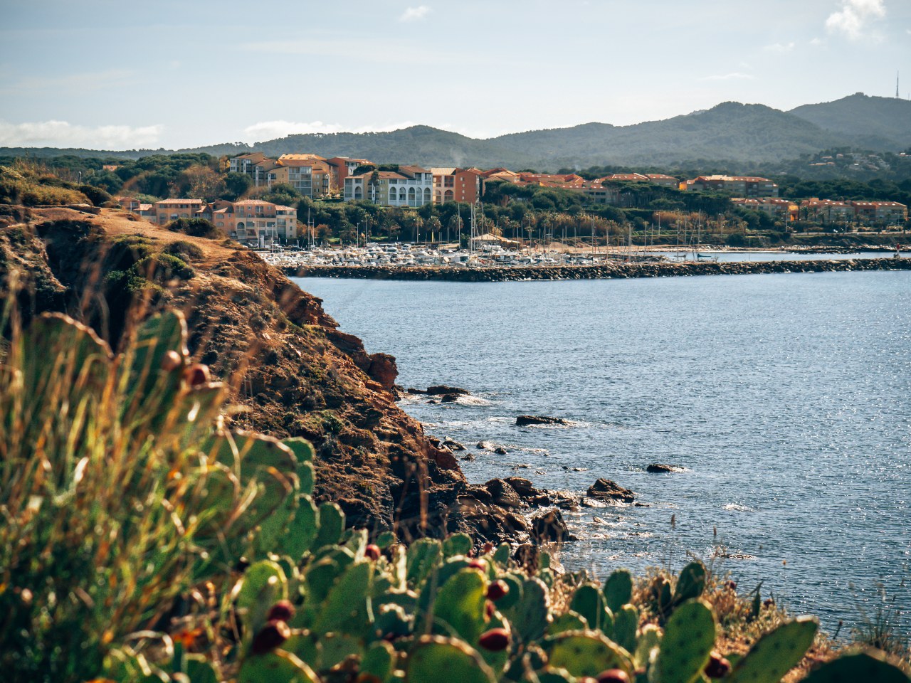
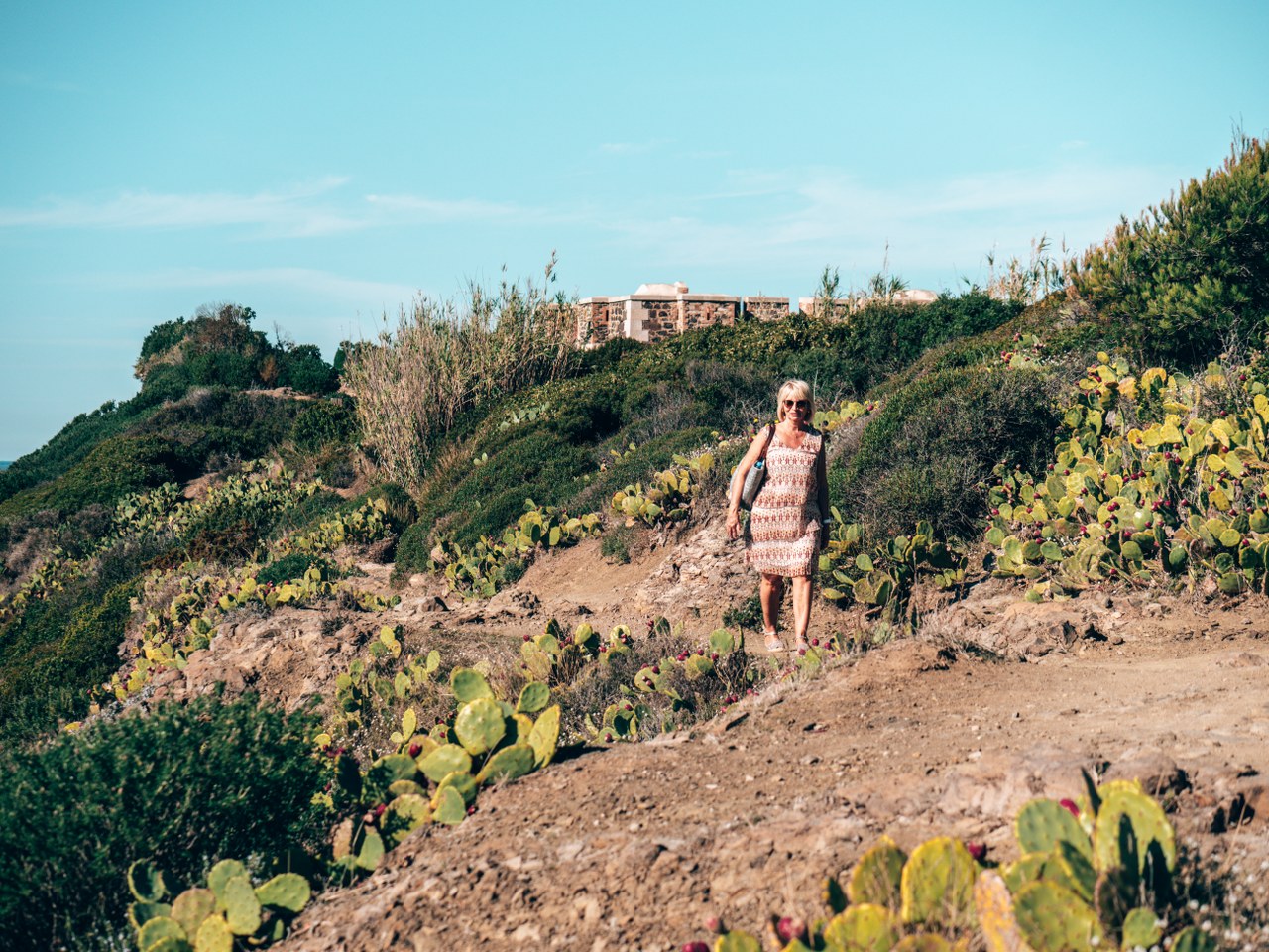
3. Take the stairs on your left, then turn left again. You will arrive in a housing estate bordered by Tamaris. From the Rayolet Parc residence, you will have the possibility to continue the walk in the direction of the Port de la Coudoulière. You can also take the path on your left crossing the beach which will allow you to admire the creeks and the panorama between the Pointe du Carabinier and the Vieille Batterie.
Beware, due to the erosion of the coastline, you will have to retrace your steps to reach the port of La Coudoulière.
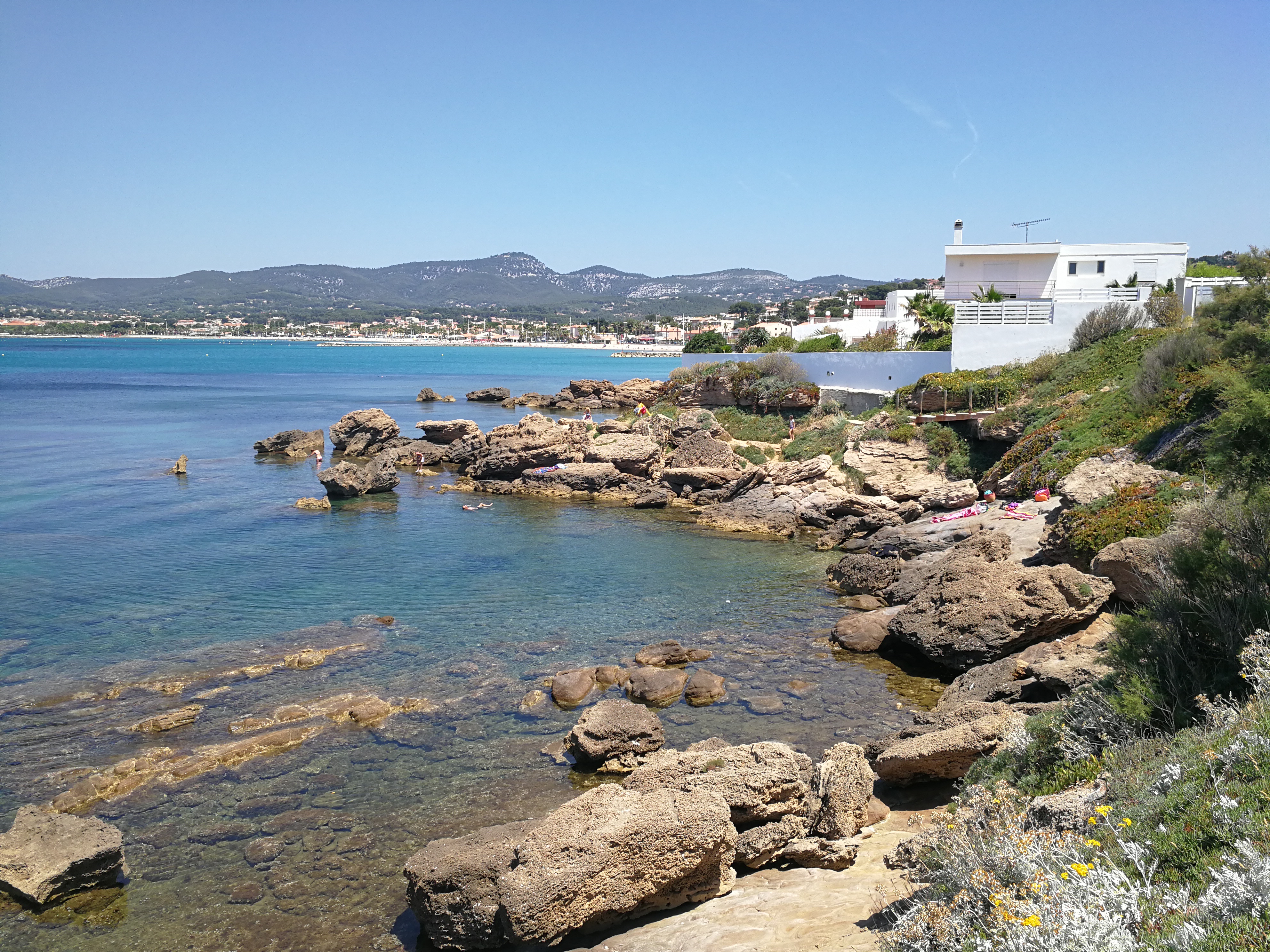
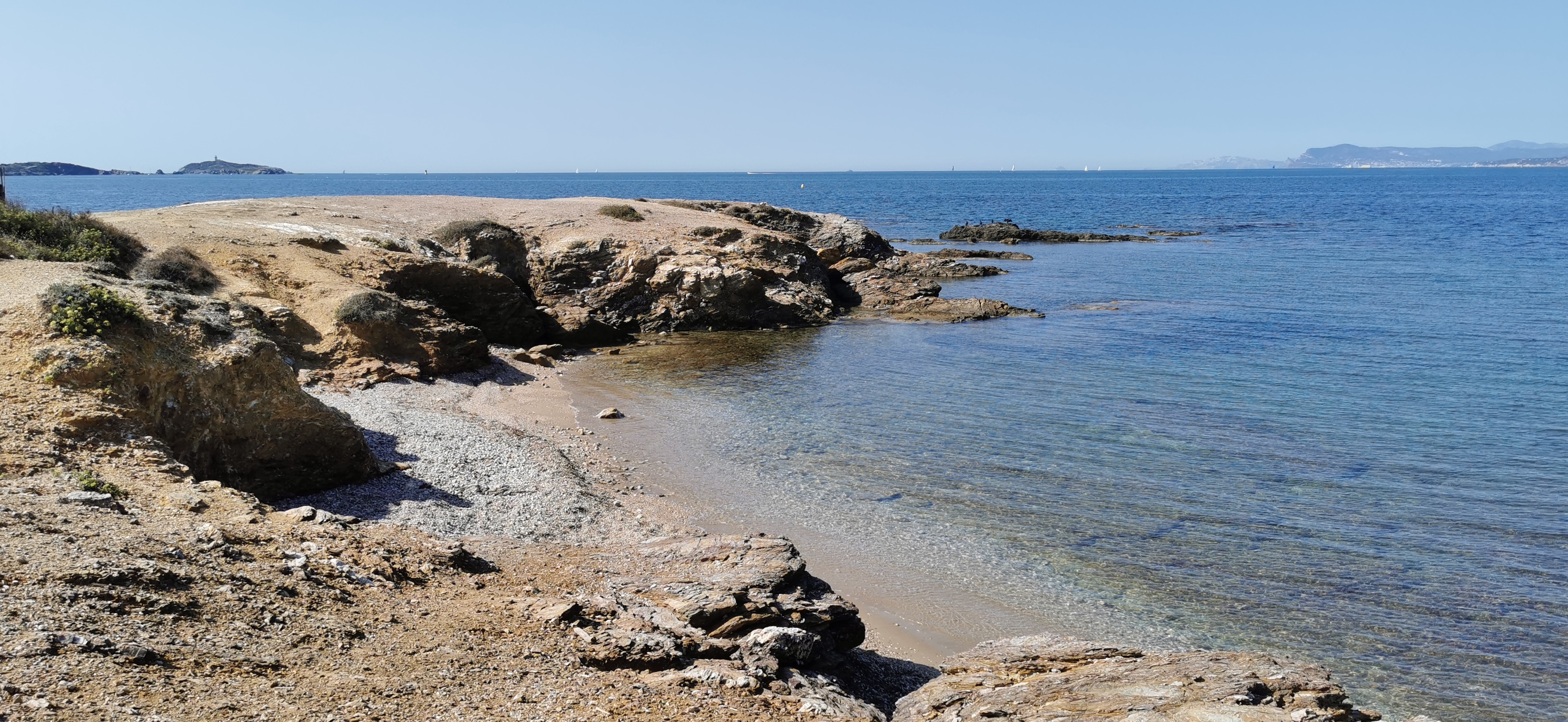
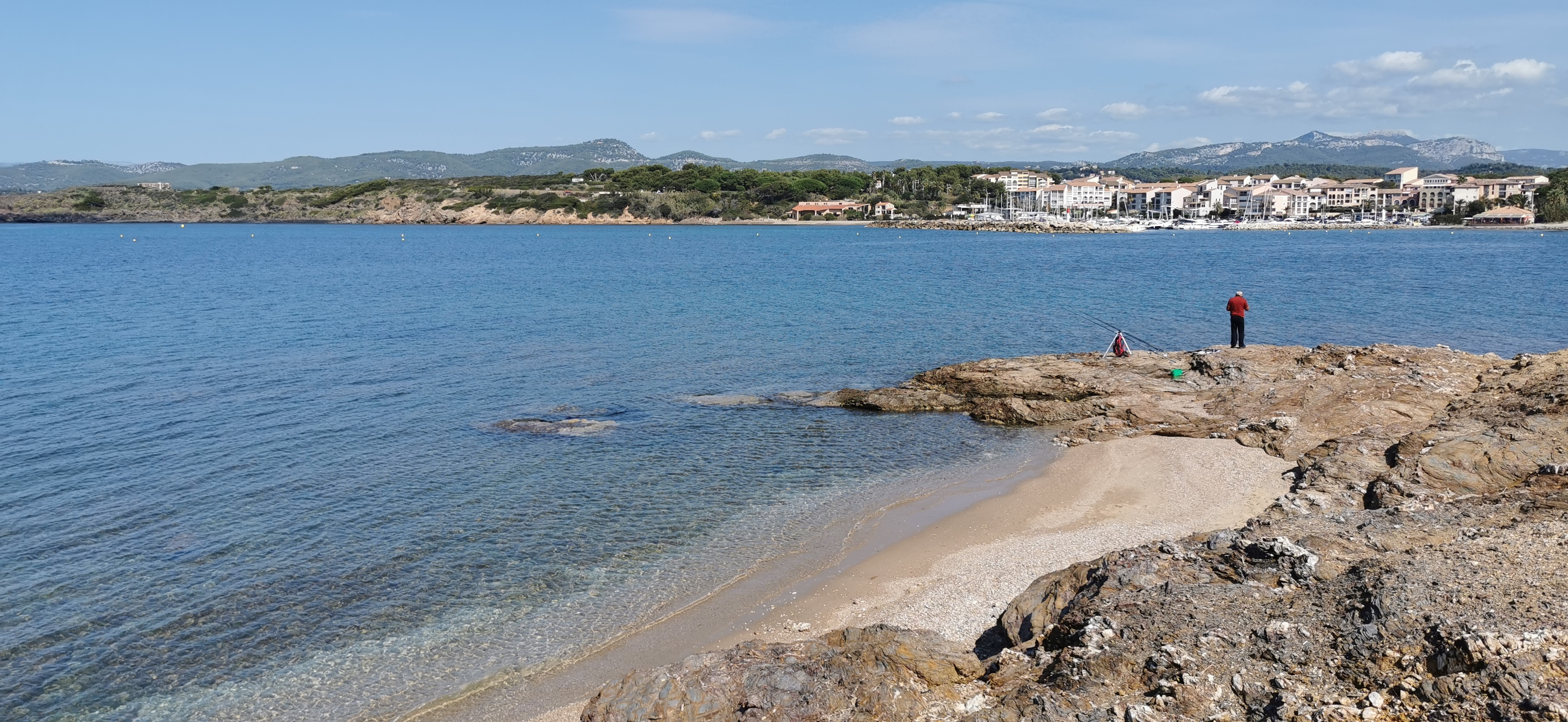
4. You will cross a parking lot and then you will overlook several creeks until you reach the port of la Coudoulière. On the way, you will cross the ecabalie élatère, its green fruit looks like a cucumber. Be careful, if you squeeze it it can "explode in your nose", its juice is very toxic and dangerous for the eyes.
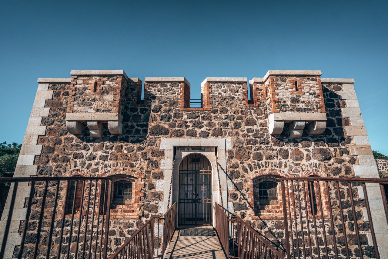
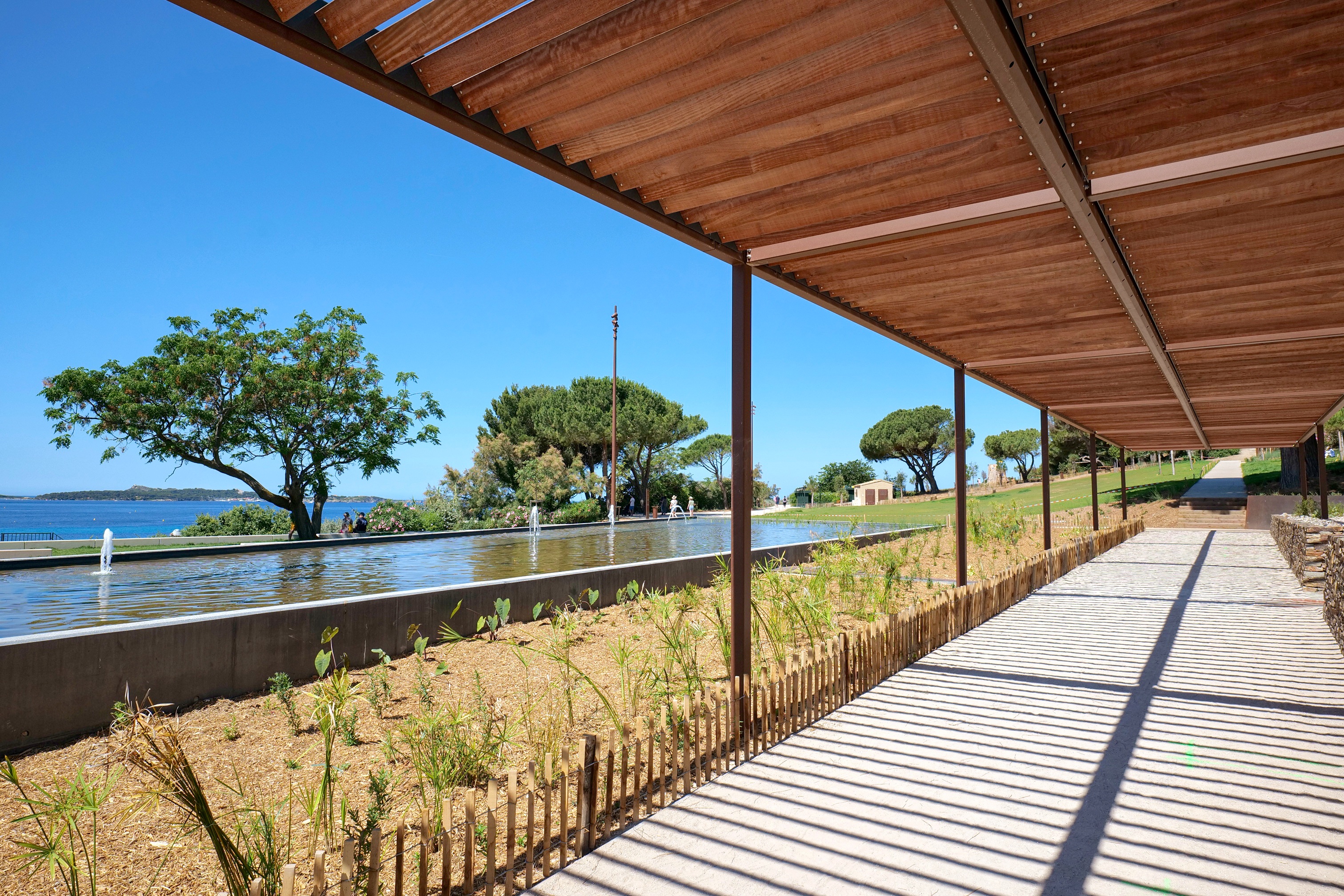
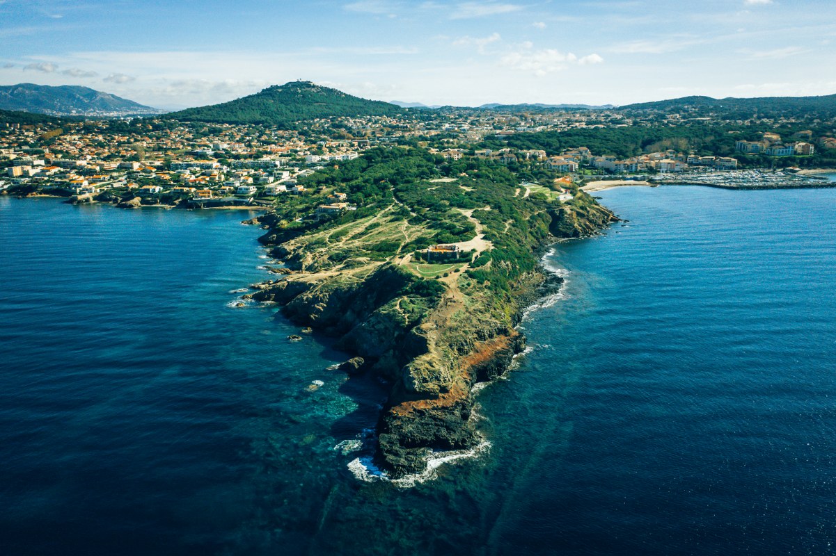
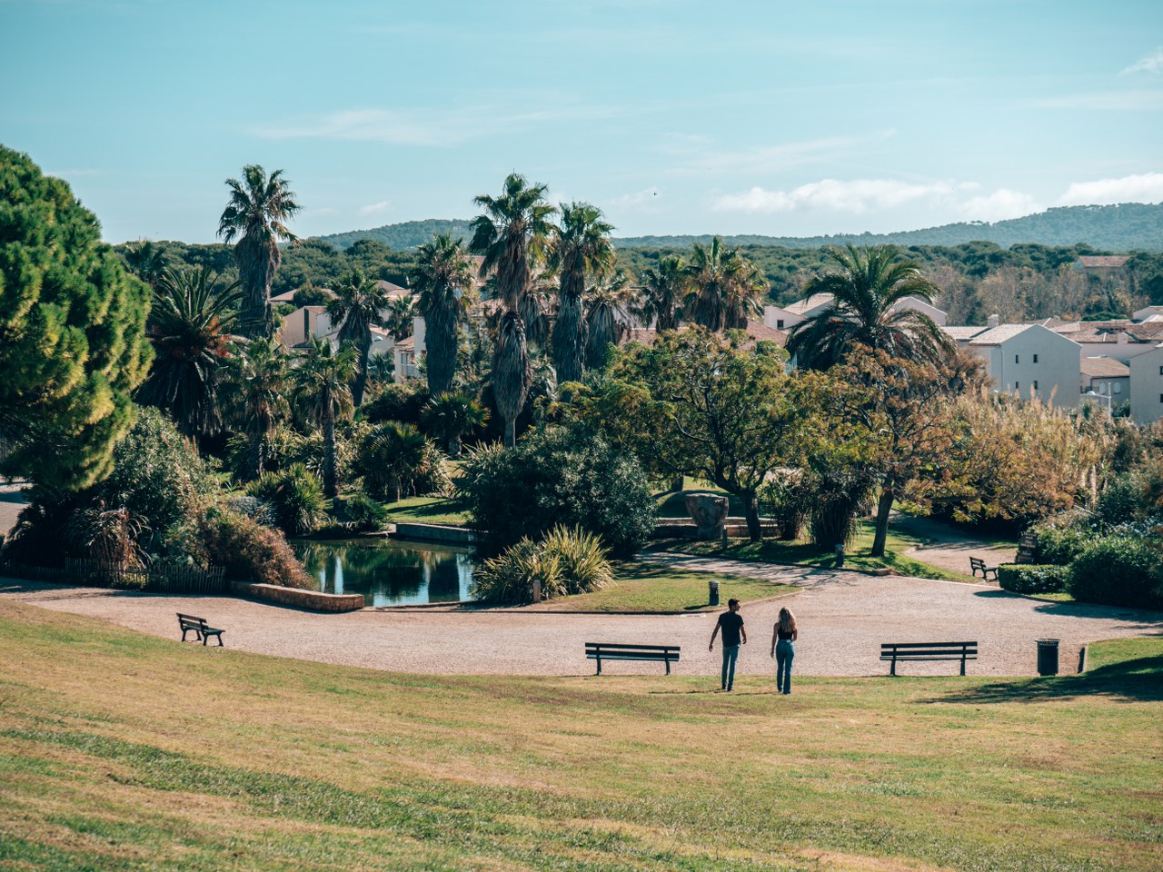
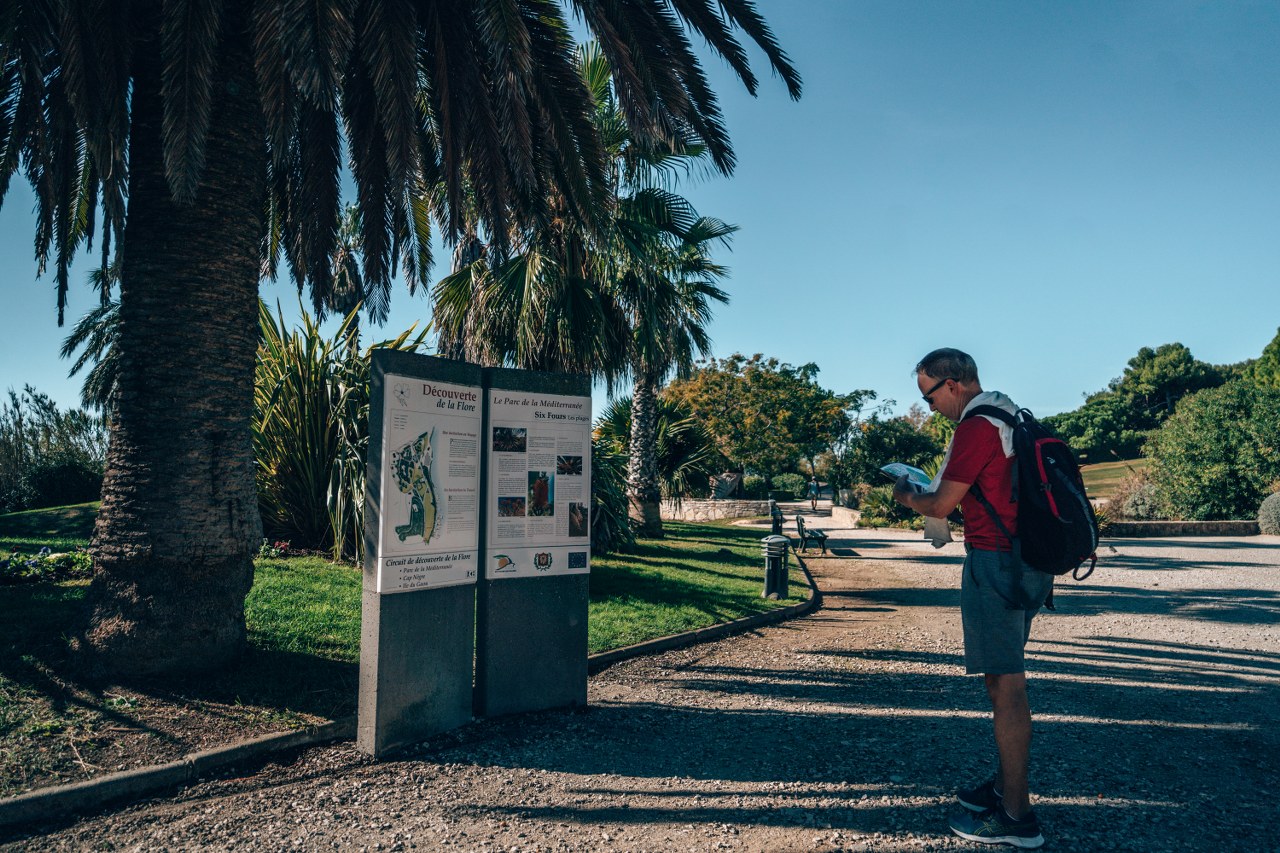
5. From the airy center of the Brown Rocks, the path is interrupted due to a landslide. Cross the Parc de la Méditerranée to make a stop to visit the Batterie du Cap Nègre and come back through the Park to join the bypass route by the D616.
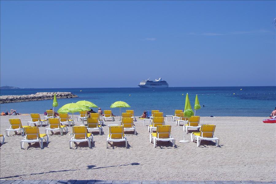
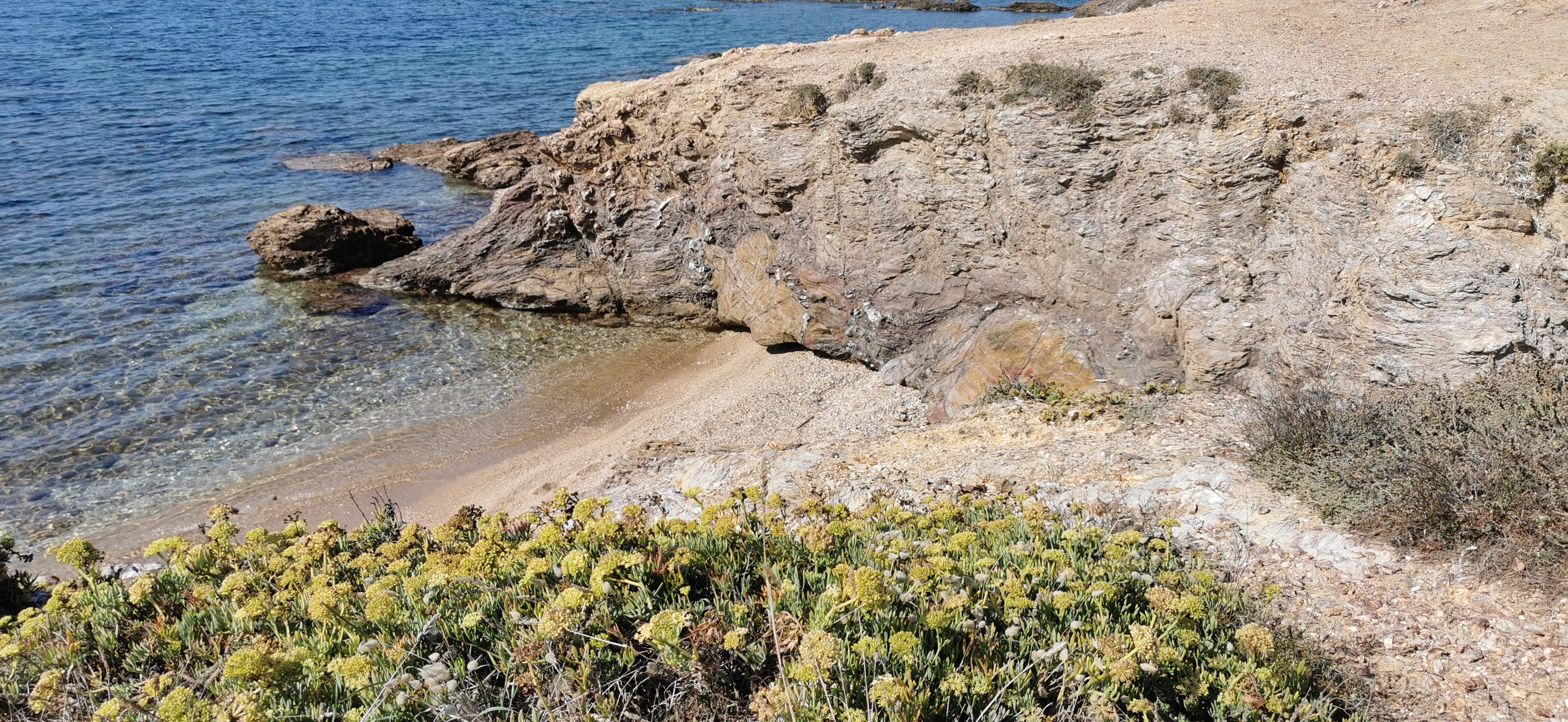
6. Continue on the path to the beach of Bonnegrâce by the Corniche de Sauviou, you will come across some marine criste.
Return by the same itinerary.
Translated with www.DeepL.com/Translator (free version)
Photo gallery
Spoken languages
- French
Equipment / Services / Activities
- Car park
Location
- Arrêt de transport en commun à moins de 500 m
- Plage à moins de 300 m
- Seaview
- Vue panoramique
Prices
Free of charge.
Opening
-
Display phone number
-
Write to the owner