Parcours cyclables du Littoral - V65 : La Seyne sur Mer >Toulon
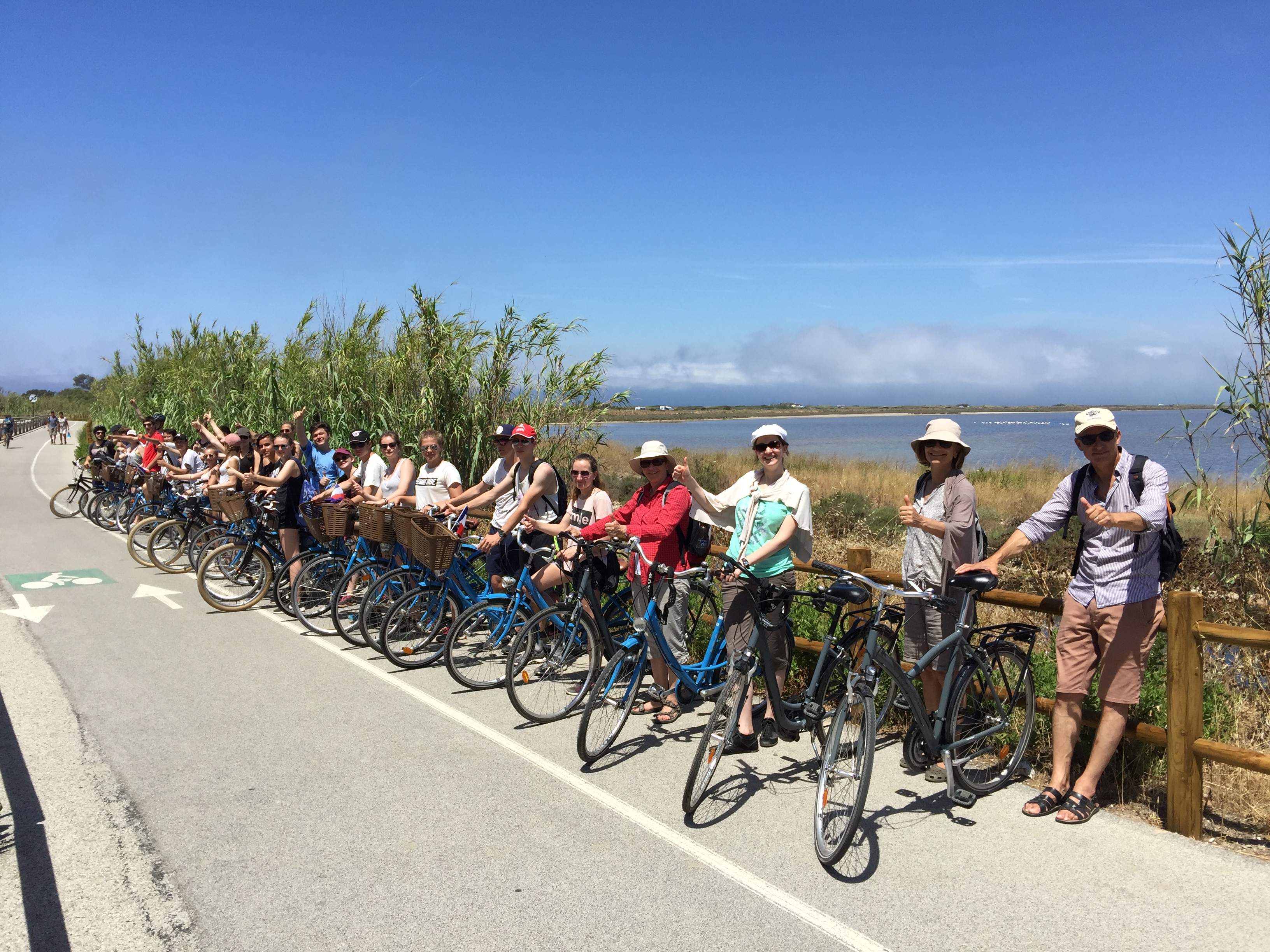
The Six-Fours/ST Coastal Cycling Trail. Raphaël (V65 of the National Véloroutes et Voies Vertes scheme) allows you to follow the route of the old railway line of Provence and cross 20 communes.
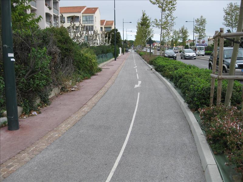
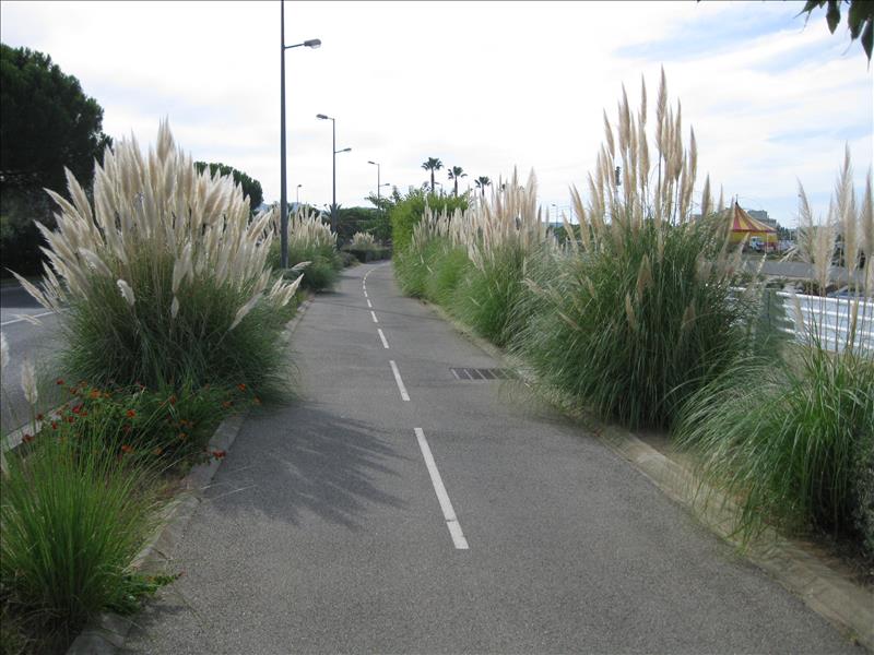
To take this route is to discover all the diversity of the landscapes, the richness of the flora and an exceptional coastal area.
It grows over time with new developments. To date, 92 km of the 120 km have been laid out on this route, 77 km of which are on exclusive right-of-way.
Beware, between Six-Fours/ST. Raphaël, some parts of the route are not yet finalised and require the use of parts of the main roads. Check the state of the route by consulting the legend on the map of the chosen route.
The section of the Parcours Cyclable du Littoral in the commune of La Seyne-sur-Mer is divided into several sections of existing exclusive right-of-way.
START / ARRIVAL POINT
- At the roundabout of the restaurant le Jardin d'Anglise take avenue des Anciens Anciens Combattants d'Indochine, at the roundabout Louis Baudisson continue on avenue de Londres until the roundabout of November 11, 1918, on a 1.8 km long exclusive right-of-way.
- At the roundabout of the restaurant le Jardin d'Anglise take avenue des Anciens Combattants d'Indochine, at the Louis Baudisson roundabout turn right and continue on avenue des Anciens Combattants d'Indochine, followed by avenue Maréchal Alphonse Juin until the crossroads with avenue M.Barel, on a 1.9 km long exclusive right-of-way.
- At the beginning of the Avenue de la Première Armée Française Rhin-Danube in the direction of Toulon up to the Pyrotechnie roundabout, on a 3.4 km long exclusive right-of-way.
- At the Appel roundabout on 18 June 1940 take Avenue JB Mattei in the direction of St Mandrier until after the Sous/marin Protée roundabout, on a 0.9 km long exclusive right-of-way.
PARKING
- Car parks of the Pier towards St Mandrier
- Parking Quai de la Marine
PRECISION
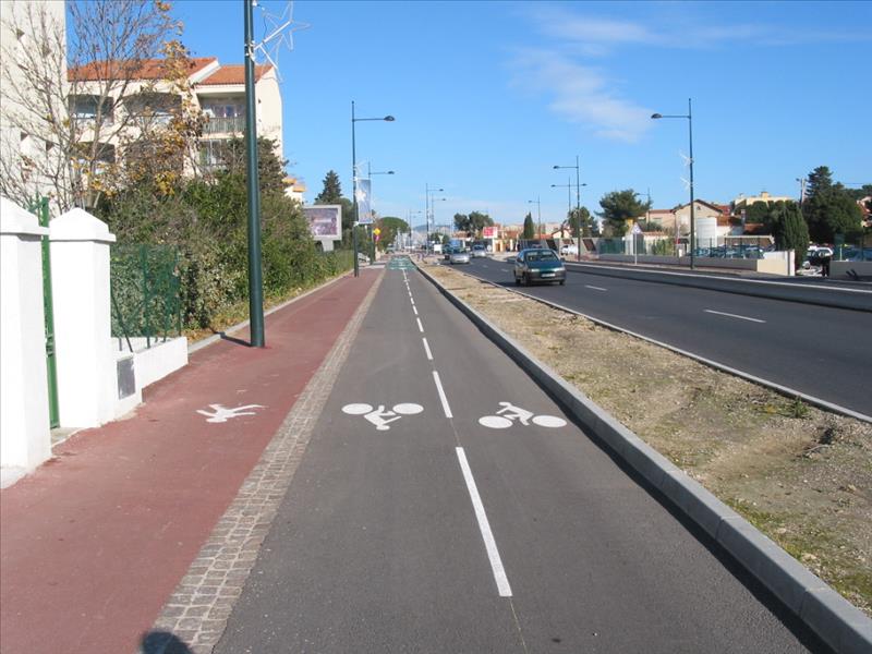
- Bicycle path: a specific site reserved for two- or three-wheeled bicycles, indicating to pedestrians and drivers of other vehicles that they are not allowed to use this facility or stop there (with the exception of emergency vehicles, firefighters, police, service vehicles and, on certain sections, authorized local residents and moped riders). In the absence of pavements or shoulders, non-motorised users (pedestrians, rollerbladers, people with reduced mobility, etc.) must walk on the left side of the road.
- Green lane: a specific site exclusively reserved for non-motorised vehicles and pedestrians (except for emergency vehicles, fire brigade, police, service vehicles and on certain sections for authorised residents and moped riders).
When the competent police authority also decides to allow the circulation of horsemen, the sign is completed by the sign "M4y" designating horsemen.
- Shared site: lane shared between different users, whether motorised or not.
WHAT TO SEE, WHAT TO DO
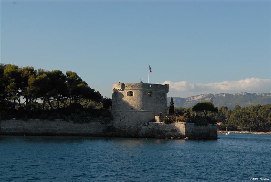
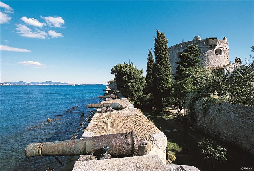
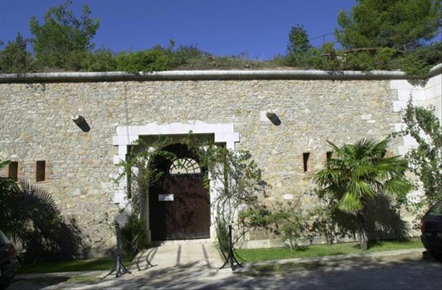
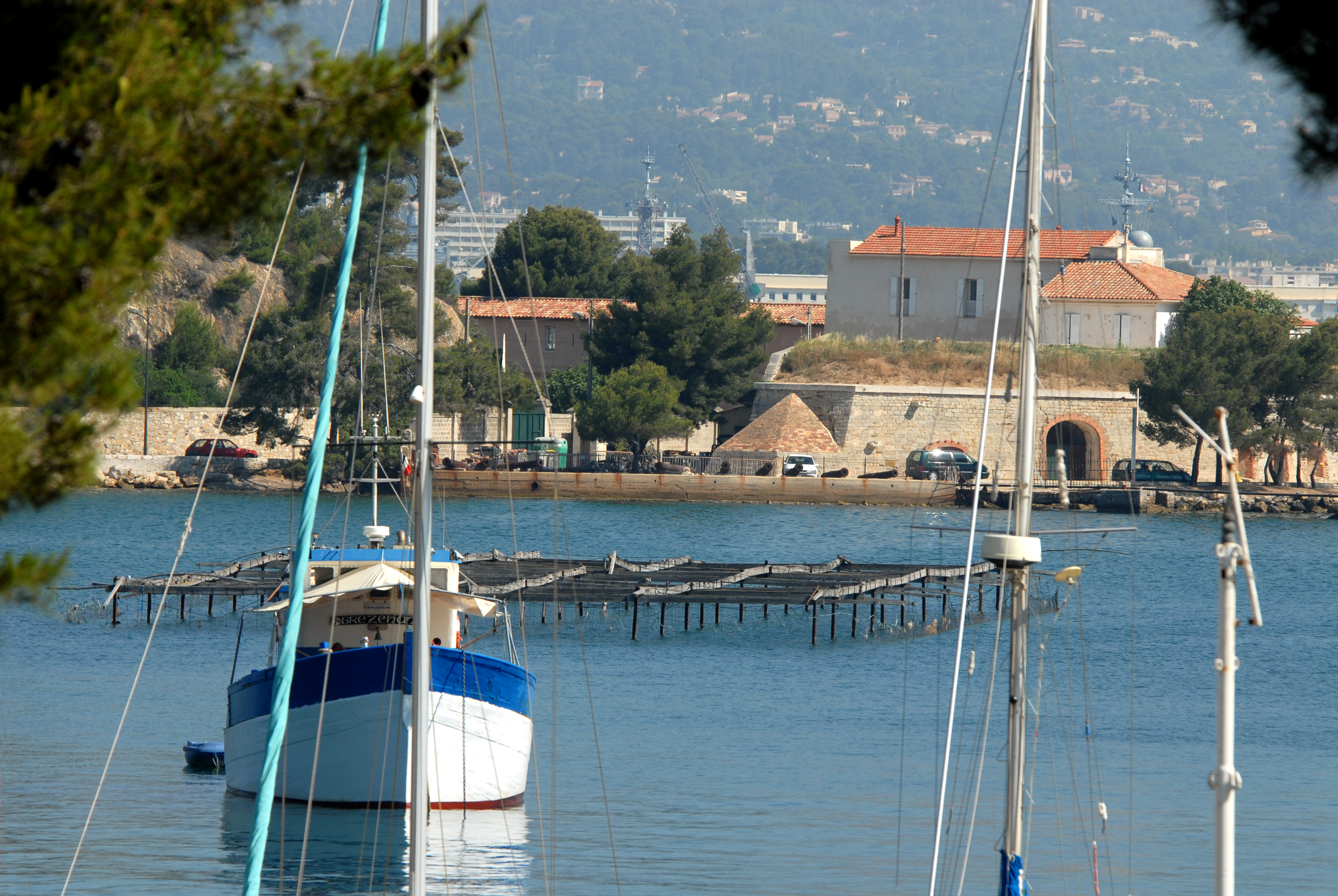
- Fort Balaguier
- The Tamaris cornice
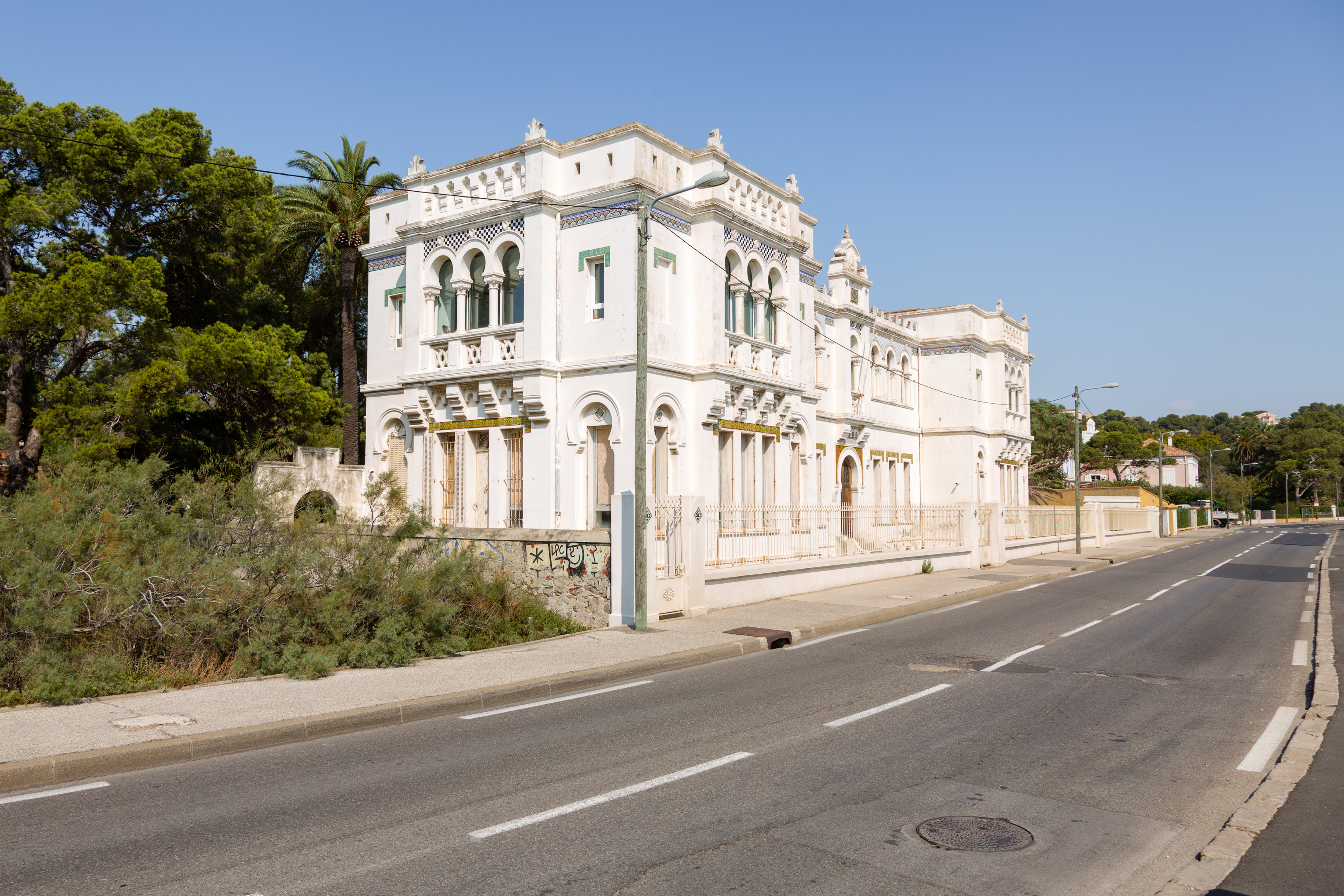
- Pasha Institute
- The Janas Forest
Photo gallery
Spoken languages
- French
Equipment / Services / Activities
- Car park
Location
- Au bord de l'eau
- Mer à moins de 300 m
Prices
Free access.


