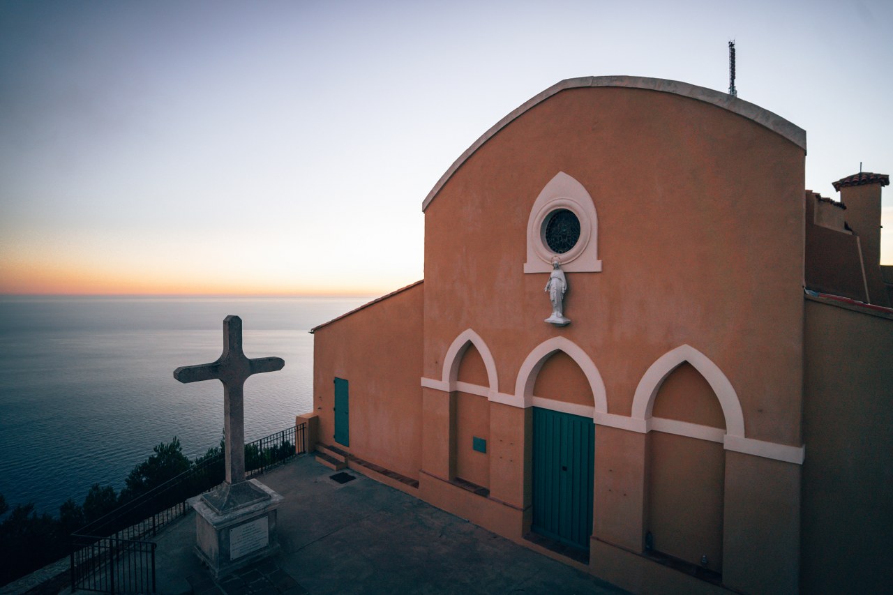


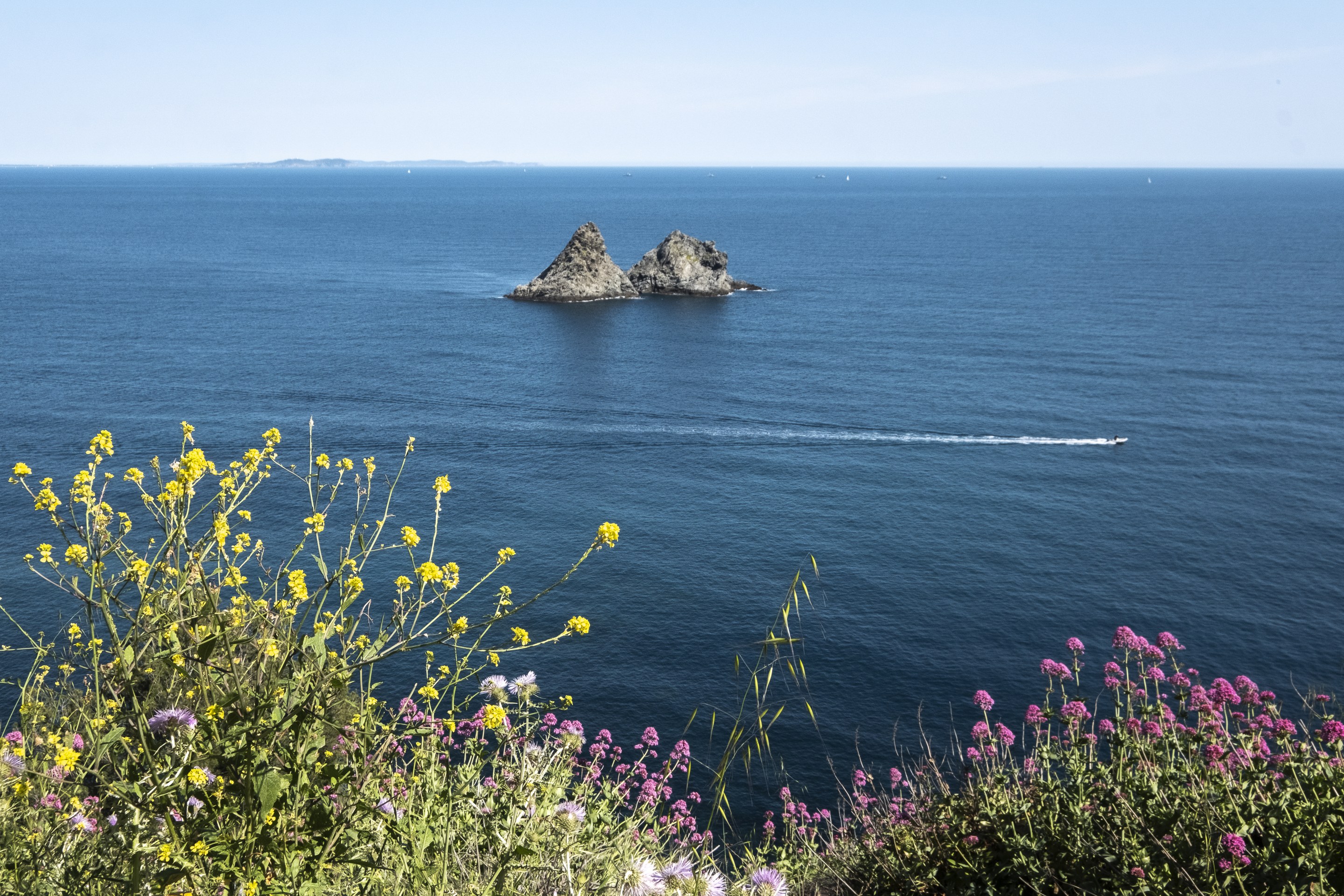
MASSIF DU CAP SICIE
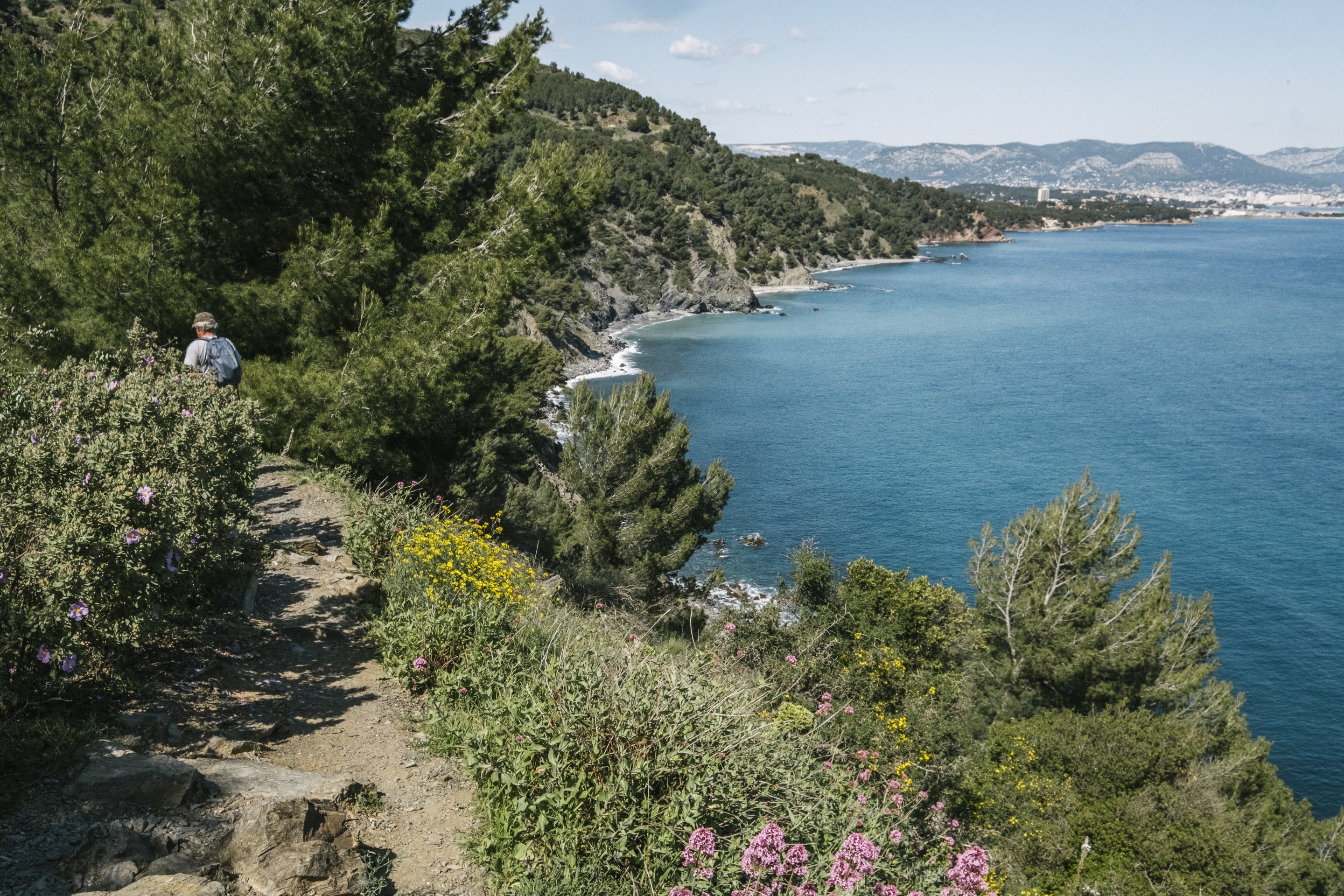
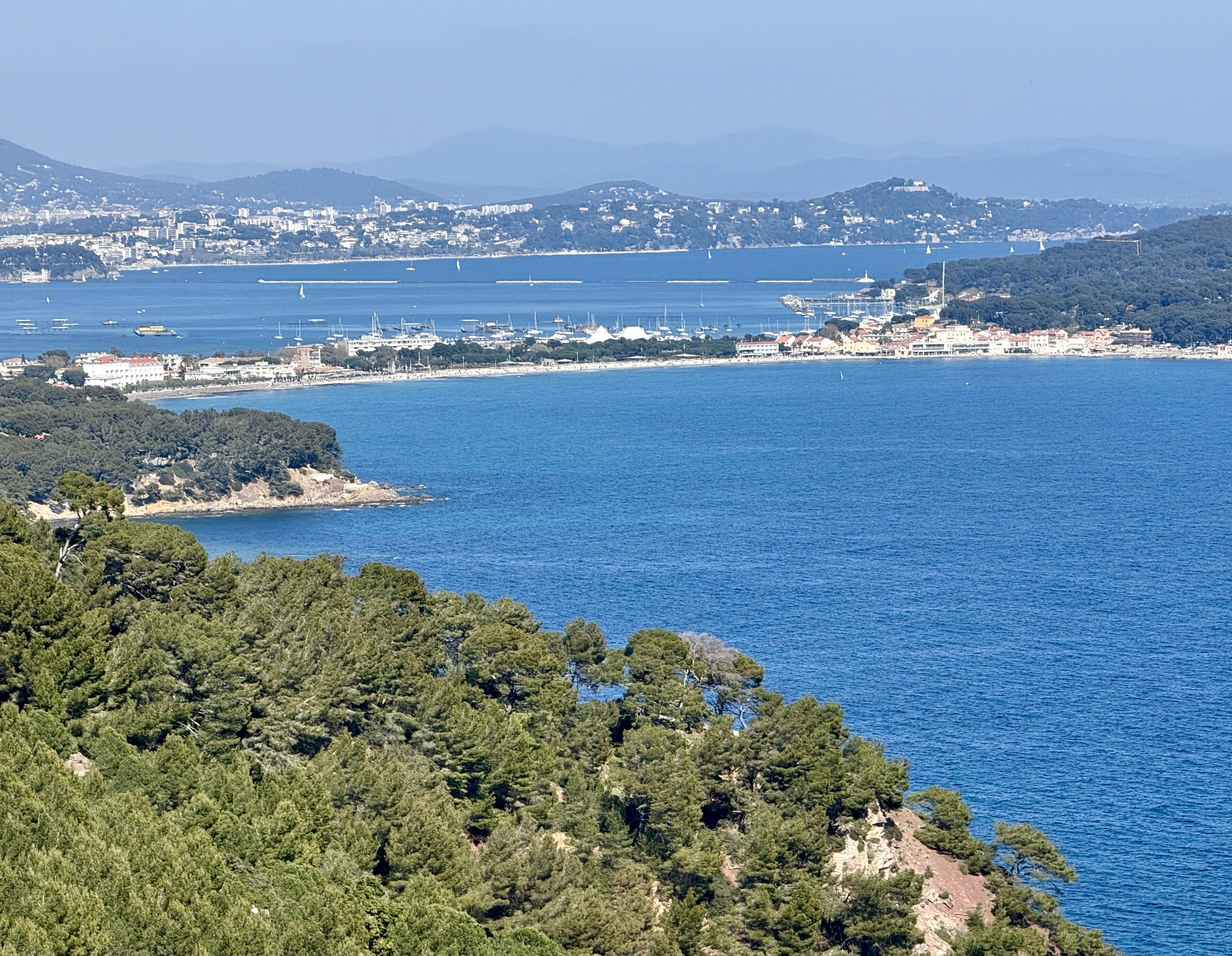
1600 hectares of Mediterranean forest on shale soil managed by the French National Forest Office, ranging between Brusc (Six Fours) and Fabrégas (La Seyne), with its highest point at 400 m altitude.
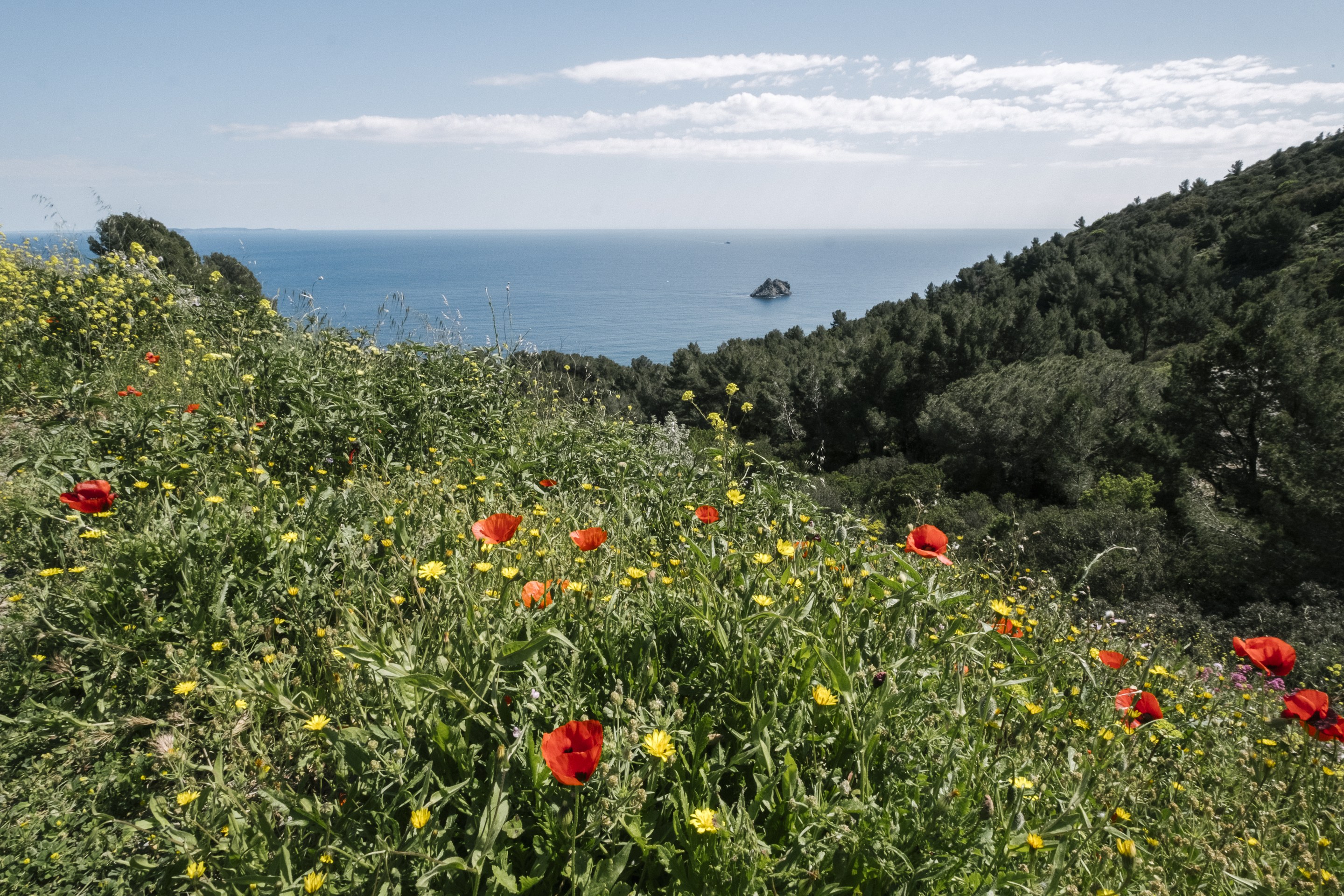
At its best in spring and autumn. A variety of plant species, including some protected species: Cistus, cork oaks, brooms, Aleppo pines, junipers, and many more.
To really make the most of the many walking trials, buy IGN maps (on sale at our centres) or "topo guides" walking guides (on sale at the usual sale points).
Forests cannot be accessed by car from 15 June to 15 September (possible extension until 30 September).
For information on forest closures, call +33 (0)4 98 10 55 41 or go online at http://www.var.gouv.fr/acces-aux-massifs-forestiers-du-a2898.html
Entry to the forests forbidden if a PLAN ALARME code black (weather-related warning of forest fires risk) is announced.
References
Photo gallery
Equipment / Services / Activities
- Car park
- Orientation board
Location
- In forest
- Seaview
Prices
Free access.
Opening