








Hiking itinerary, Pedestrian sports
Hiking on the shoreline trail in Saint Mandrier
Saint-Mandrier-sur-Mer
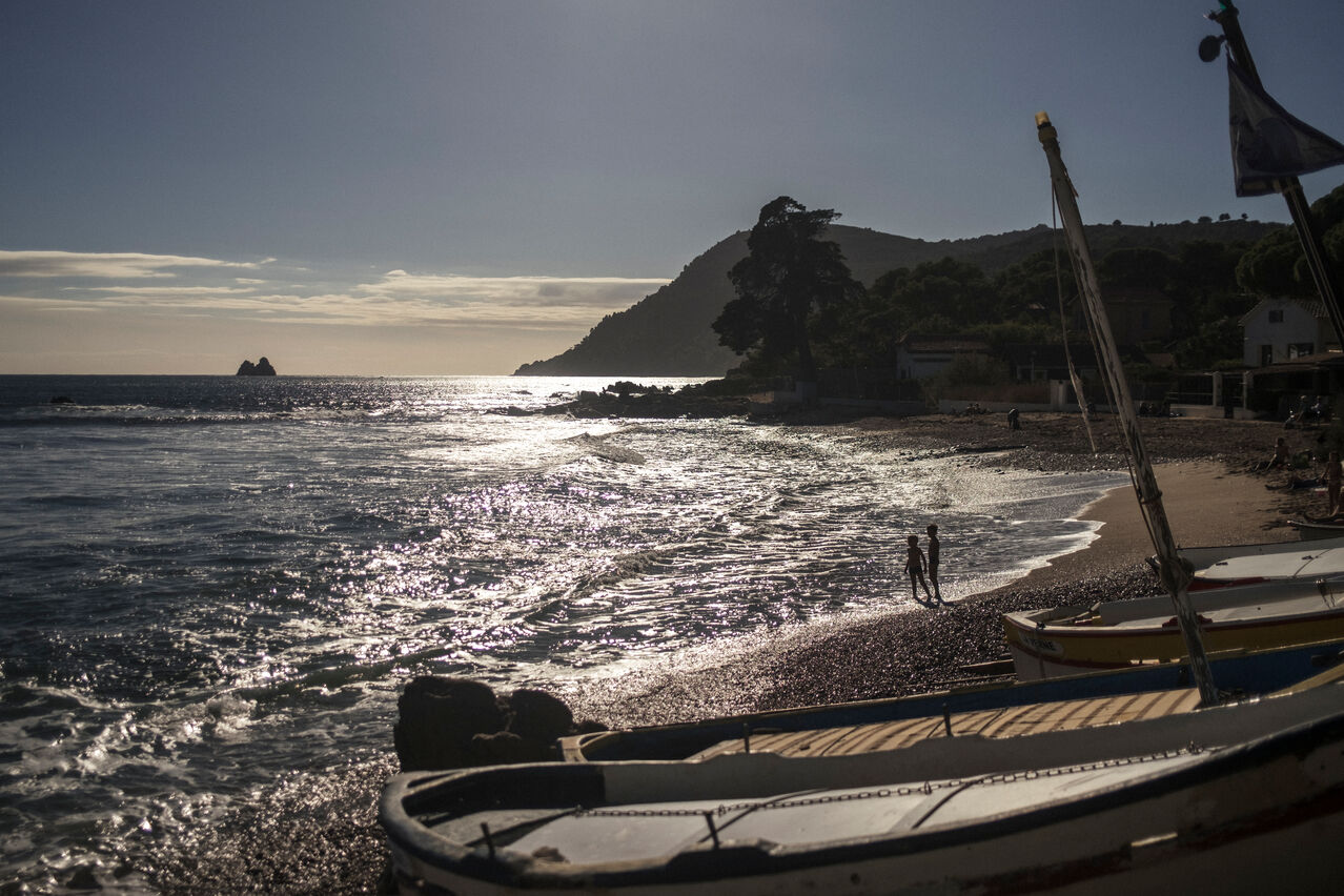
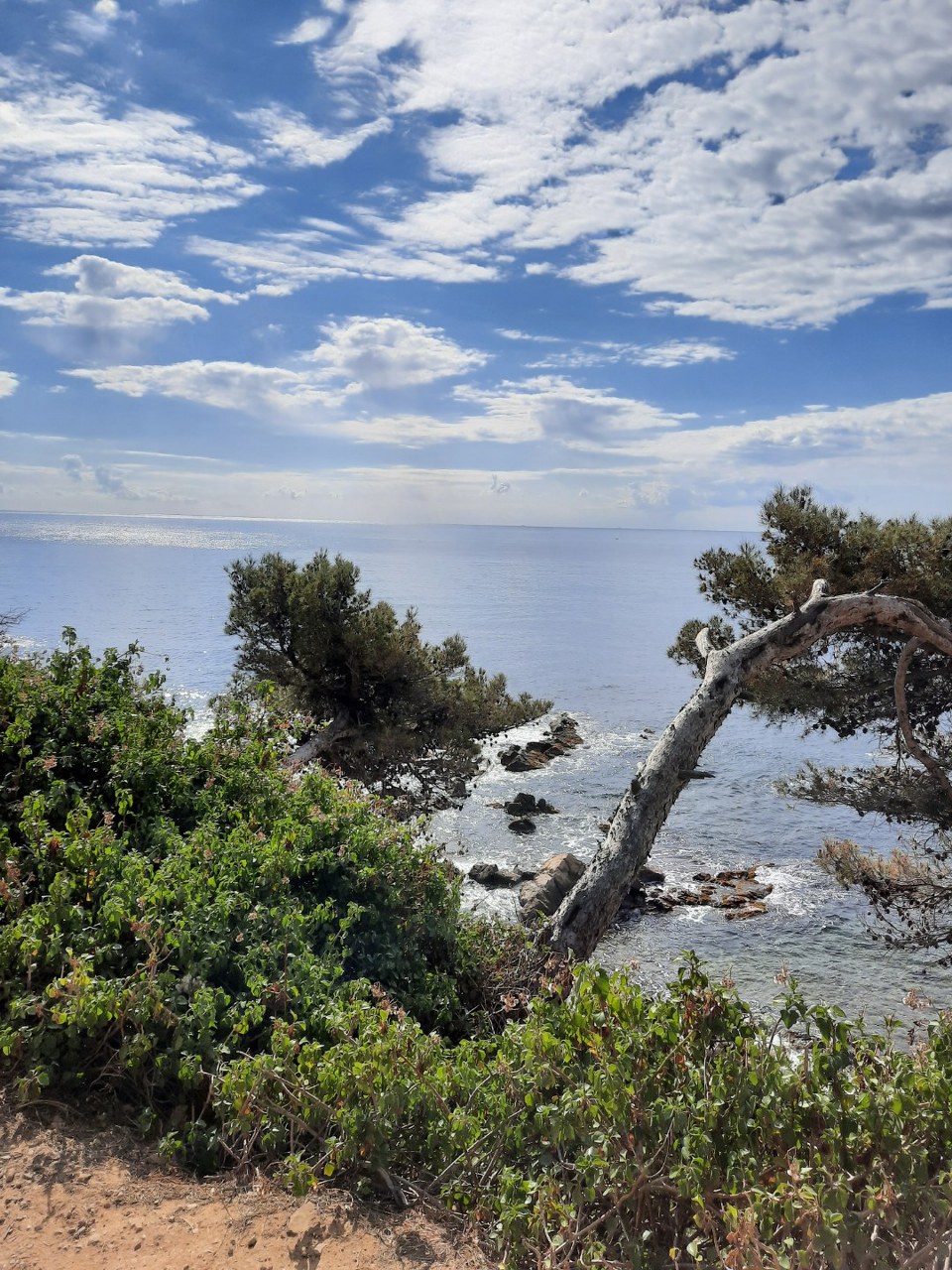
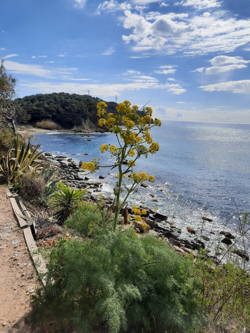
Sentier du littoral Plage de St Asile (le Pin Rolland) - St Mandrier (6 km) : offers a magnificent view on the open sea with the Deux Frères and on the other side on Toulon and its harbour.
Check out the guide to the Coastal Trail published by the Toulon Provence Méditerranée Metropolitan Area (2022), available online in PDF format by clicking the link below: https://metropoletpm.fr/sites/new.tpm-agglo.fr/files/topoguide_sentier_du_littoral_2022-ok_0.pdf
Route 6: Walk around the peninsula (pp. 32–35)
Starting point: Sainte-Asile Beach
End point: Cavalas Beach
This route will take you to the Marégau headland, then on to Coudoulière Beach and the Cavalas site.
This trail features several historic and natural landmarks, including Fort Saint-Elme,
Fort du Gros Bau, Fortin de la Coudoulière, and the beautiful Sainte-Asile pine forest.
1) The hike begins at Sainte-Asile Beach.
2) Walk along the beach and follow the signs for “Fort de la Renardière, Coudoulière Beach.”
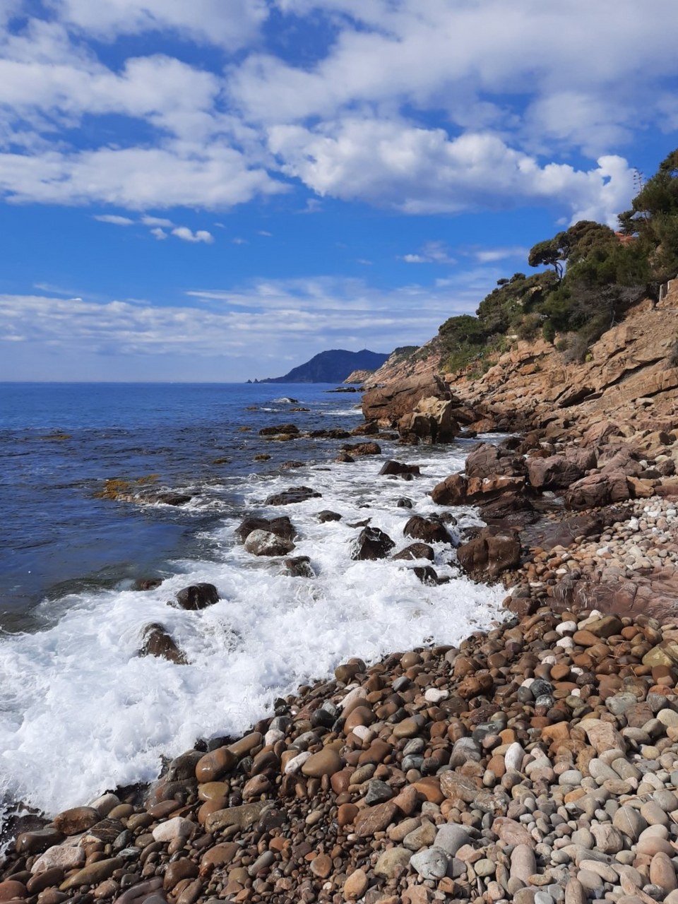
3) You’ll descend into a pebble cove, then take the stairs back up to Avenue du Languedoc.
4) At the end of this avenue, take a dead-end road on your right and you’ll come to a gate, which you’ll go around. After a somewhat steep climb, you’ll reach Pointe Marégau.
Take a short break to admire the scenery at the orientation table. A sweeping panorama unfolds, stretching from the Deux Frères rocks to Cap Sicié and the Hyères Islands.
5) Continue on until you reach a road, which you’ll cross. Turn right. You’ll pass by Fort du Gros Bau, built in 1882.
6) You’ll walk along the property of the Conservatoire du Littoral, “Le Domaine de l’Ermitage.” You’ll pass a shooting range on your right. Take a steep, overgrown path. To your left, you’ll see the pier leading to the Tour Royale, a few military ships, and the port of Saint-Mandrier-sur-Mer, “Le Creux Saint-Georges.”
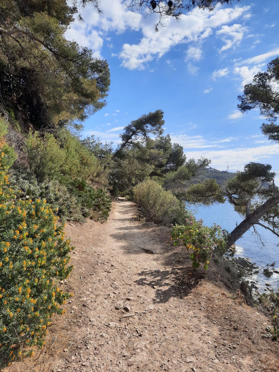
7) The path is narrow and steep; be careful not to get too close to the cliffs. You’ll walk along a ledge before reaching the small beach of La Coudoulière; continue along the coastline toward Cavalas Beach.
Don’t miss the detour to the Coudoulière fort, hidden behind a small hill above the shore. This structure was built to protect two of the small beaches bordering the peninsula
(exterior visit only).
In the summer, don’t miss the professional theater festival held on the terrace. From the terrace of the Coudoulière Fort, you’ll enjoy magnificent views of the open sea and the Deux Frères rocks.
At the end of the day, you’ll be treated to a stunning
sunset over Cap Sicié and the Deux Frères rocks!
Please note that the coastal trail (Chemin des Douaniers) between La Coudoulière Beach and Cavalas is currently closed until further notice.
Pets allowed
Photo gallery




Vidéo
Spoken languages
- French
Equipment / Services / Activities
- Pets allowed
Location
- Arrêt de transport en commun à moins de 500 m
- In forest
Prices
Free of charge.
Opening
Hiking itinerary, Pedestrian sports
Hiking on the shoreline trail in Saint Mandrier
Plage Sainte-Asile 83430 Saint-Mandrier-sur-Mer